gloucester GL6 Postcodes
Spending a fortune on conveyancing?

Compare instant, low-cost online quotes from trusted conveyancing solicitors.
Backed by experts, our no-obligation service searches through the best conveyancing quotes on the market to save you time and money.
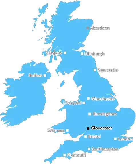
Gloucester (GL6)
The GL6 postcode area is located in the Gloucester postcode town region, within the county of Gloucestershire, and contains a total of 1381 individual postcodes.
There are 120 electoral wards in the GL6 postcode area, including Badminton, Berkeley, Blakeney, Cheltenham, Chipping Campden, Cinderford, Cirencester, Coleford, Drybrook, Dursley, Dymock, Fairford, Gloucester, Lechlade, Longhope, Lydbrook, Lydney, Mitcheldean, Moreton-In-Marsh, Newent, Newnham, Ruardean, Stonehouse, Stroud, Tetbury, Tewkesbury, Westbury-On-Severn, Wotton-Under-Edge which come under the local authority of the Stroud Council.
Combining the whole postcode region, 34% of people in GL6 are classed as having an AB social grade, (i.e. 'white-collar' middle-upper class), compared to 27% across the UK.
This does not mean that the people of GL6 are wealthier - or higher class - than average, but it can be an indication that the area may be prospering and desirable to live in.
The GL6 postcode is within the Gloucester district and is the postcode for several villages and towns in Gloucestershire, including Chalford, Kings Stanley, Berkeley and Haresfield.
The GL6 covers an area of 34.55 square miles and has a population of approximately 12,000 people. Its approximate geographic midpoint is at the junction of Park Lane and Marling Road in Chalford.
GL6 is home to a range of national parks, nature reserves, footpaths, bridleways and cycle routes. It has a variety of large and small local businesses, such as farms, restaurants, and small shops.
GL6 also has a range of local amenities, including primary schools, a high school, and two local theatres. Nearby are two local sports teams, and several golf courses. Public transport links within the area are plentiful, with buses, local trains, and park and ride facilities.
The town centre of Chalford and the villages of Kings Stanley and Berkeley have undergone considerable transformation over the past 10 years. Kings Stanley, in particular, is an idyllic village surrounded by fruit and vegetable farms and farmland. Berkeley has a large lake that is used for boating and angling, and is surrounded by footpaths and nature reserves. Haresfield has a large wooded area, a large pond, and a variety of wildlife.
The GL6 is within easy reach of the major cities of Bristol, Bath, and Gloucester, and is also adjacent to the lovely Cotswolds countryside. It has a reputation for being a quiet, rural community, yet also offers plenty of amenities for all to enjoy.

Demographics
Gloucestershire

GL6 is located in the county of Gloucestershire, in England.
Gloucestershire has a total population of 900,800, making it the 23rd largest county in the UK.
Gloucestershire has a total area of 1216 square miles, and a population density of 285 people per square kilometre. For comparison, Greater London has a density of 5,618 people/km2.
| Outward Code | GL6 |
| Postal Town | Gloucester |
| MSOA Name | Stroud 013 |
| LSOA Name | Stroud 013B |
| County | Gloucestershire |
| Region | Gloucestershire |
| Country | England |
| Local Authority | Stroud |
| Area Classification | Urban with Significant Rural (rural including hub towns 26-49%) |
GL6 Electoral Wards
The postal region of GL6, includes the local towns, villages, electoral wards and stations of:
Dig even deeper into the GL6 postcode by clicking on a postcode below:
Click on an outward postal code below for more information about the area. Each 'outward' postcode give you a comprehensive list of all postcodes within the outward code area (GL) and estimated address.
Click on an 'outward' code for more information. For example, the outward postcode page 'EC2M' will give you an alphabetical list covering all postcodes located in the region, from 'EC2M 1BB' through to 'EC2M 7YA'.
Chris H
Wednesday, May 8, 2024
We don't have any views of GL6 right now. If you live in GL6 or have visited it, please help us to help others by telling others what you think of this neighbourhood.
Add your view of GL6
People need your local expertise. If you live in GL6 or have first-hand knowledge of the neighbourhood, please consider sharing your views. It's completely anonymous - all we ask is for your initials.
Please tell us what you like about the GL6 postcode area, what you don't like, and what it's like to live or work here.
| LOCAL AMENITIES | |
| FAMILY FRIENDLY | |
| PARKING | |
| GREEN SPACES |
Local News Gloucestershire
Wells retires age 23 due to heart condition
Gloucestershire wicketkeeper-batter Ben Wells retires aged 23 after being diagnosed with a heart condition.
BBC NewsPolice not treating woman's death as suspicious
Police say the woman's next of kin and the coroner have been informed of her death.
BBC NewsStevens and Bernard released by Forest Green
Matty Stevens and Dominic Bernard arereleased by Forest Green Rovers following theclub's relegation to the National League.
BBC NewsRachael Heyhoe Flint Trophy: South East Stars go top
South East Stars go top of the Rachael Heyhoe-Flint Trophy table after beating Sunrisers as Southern Vipers and Northern Diamonds also win.
BBC NewsUps, downs and the race for Europe
All you need to know about promotion, relegation and qualification for Europe in England and Scotland's top men's football leagues, and the Women's Super League.
BBC News'I know how Benetton play' - Gloucester's Varney
Italy scrum-half Stephen Varney hopes to be a "good asset" for Gloucester when they face Benetton in their Challenge Cup semi-final.
BBC NewsParents changing jobs to get children to school due to lack of buses
Parents in some villages say they have been quoted 80 per child per day by one bus company.
BBC NewsUps, downs and the race for Europe
All you need to know about promotion, relegation and qualification for Europe in England and Scotland's top men's football leagues, and the Women's Super League.
BBC NewsFrom the Postcode Area blog

Deciphering Crime Rates - a Deep Dive Into UK Postcode Analysis
Ever wondered about the crime rate in your UK postcode? You're not alone. We've dug deep into the data, uncovering trends and patterns that'll make your head spin.

Death of the High Street?
The BBC reports that despite councils' attempts to kurb them, the UK's high streets have seen a huge growth in fast food outlets. Could this mark the death knell for the Great British high street, and what can we do about it to halt its decline?

Discrimination by Postcode
You really couldn't make it up, could you? Some of the country's most vulnerable people are missing out on their weekly £25 Cold Weather Payment, just because the system that's in operation is discriminating against them because payments are based on postcode, rather than geographic location.

The Redesign is Underway
Well, the current website was absolutely in dire need of a good redesign - from the ground up. So I set out to pull it all apart and get it up and running again to become the most comprehensive guide to every postcode in the UK. And it's been a long, tough job from start to finish - and quite possibly the biggest project I've ever undertaken.
SOCIAL GRADES
According to census records, 34% of people here have a social grade of AB (highest), compared to the national average of 27%.