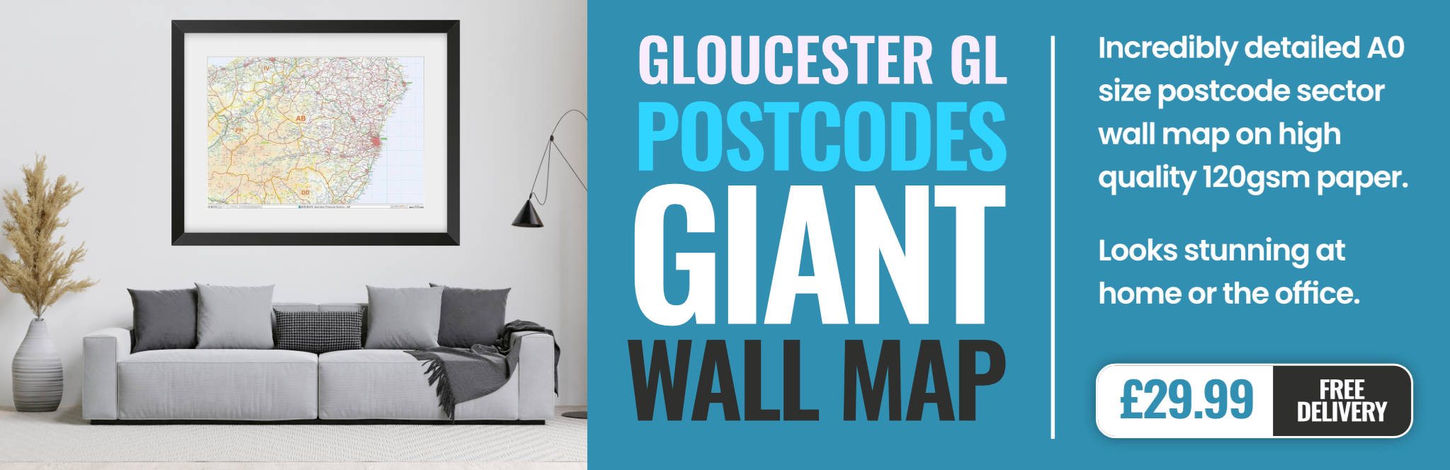
gloucester GL17 Postcodes
Spending a fortune on conveyancing?

Compare instant, low-cost online quotes from trusted conveyancing solicitors.
Backed by experts, our no-obligation service searches through the best conveyancing quotes on the market to save you time and money.
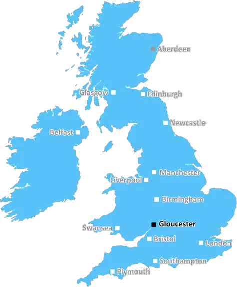
Gloucester (GL17)
The GL17 postcode area is located in the Gloucester postcode town region, within the county of Gloucestershire, and contains a total of 761 individual postcodes.
There are 61 electoral wards in the GL17 postcode area, including Badminton, Berkeley, Blakeney, Cheltenham, Chipping Campden, Cinderford, Cirencester, Coleford, Drybrook, Dursley, Dymock, Fairford, Gloucester, Lechlade, Longhope, Lydbrook, Lydney, Mitcheldean, Moreton-In-Marsh, Newent, Newnham, Ruardean, Stonehouse, Stroud, Tetbury, Tewkesbury, Westbury-On-Severn, Wotton-Under-Edge which come under the local authority of the Forest of Dean Council.
Combining the whole postcode region, 21% of people in GL17 are classed as having an AB social grade, (i.e. 'white-collar' middle-upper class), compared to 27% across the UK.
This does not mean that the people of GL17 are poorer than other areas, but it may give an indication that there are areas of deprivation.
GL17 is a postcode district in the Gloucester post town, covering a large part of the northern part of the county of Gloucestershire, England. The post town covers an area of approximately 39 square miles and spans across three main towns � Newent, Gloucester and Ross-on-Wye.
The GL17 postcode mainly covers rural areas, villages and hamlets that are located in the rolling hills of the Forest of Dean. The area is popular with tourists and is home to many picturesque market towns, historic castles, meandering rivers and stately homes.
The postcode district consists of a mix of residential and non-residential locations. Residential properties include detached and semi-detached houses, terraces, and bungalows, as well as many new-build developments and retirement homes. There are also numerous businesses, farms and farms that are scattered throughout the area.
The GL17 postcode also covers a number of villages and hamlets in the surrounding area including Tuffley, Maugersbury, Bishops Cleeve, Little Marcle, Longhope, Yorkley and Ruardean. There is a wide range of shops, pubs and restaurants to enjoy in these locations, many of which are located in traditional Cotswold stone buildings.
There is plenty to do in the area for the whole family. There are numerous outdoor activities such as walking, cycling, horse riding, fishing, golfing and bird watching to enjoy. Additionally, there are plenty of historical sites to explore such as Berkeley Castle, the River Severn and Sudeley Castle.
The GL17 postcode also has excellent transport links, both via road and rail. To the north of the postcode are the M4, M50 and M5 motorways, while National Express and National Rail trains serve the region from Gloucester station and other local facilities.
For those looking to move to the area, there is a variety of schooling options available, from local and private schools to excellent sixth form and further education establishments.

Demographics
Gloucestershire

GL17 is located in the county of Gloucestershire, in England.
Gloucestershire has a total population of 900,800, making it the 23rd largest county in the UK.
Gloucestershire has a total area of 1216 square miles, and a population density of 285 people per square kilometre. For comparison, Greater London has a density of 5,618 people/km2.
| Outward Code | GL17 |
| Postal Town | Gloucester |
| MSOA Name | Forest of Dean 005 |
| LSOA Name | Forest of Dean 005B |
| County | Gloucestershire |
| Region | Gloucestershire |
| Country | England |
| Local Authority | Forest of Dean |
| Area Classification | Mainly Rural (rural including hub towns >=80%) |
GL17 Electoral Wards
The postal region of GL17, includes the local towns, villages, electoral wards and stations of:
Dig even deeper into the GL17 postcode by clicking on a postcode below:
Click on an outward postal code below for more information about the area. Each 'outward' postcode give you a comprehensive list of all postcodes within the outward code area (GL) and estimated address.
Click on an 'outward' code for more information. For example, the outward postcode page 'EC2M' will give you an alphabetical list covering all postcodes located in the region, from 'EC2M 1BB' through to 'EC2M 7YA'.
Chris H
Sunday, April 7, 2024
We don't have any views of GL17 right now. If you live in GL17 or have visited it, please help us to help others by telling others what you think of this neighbourhood.
Add your view of GL17
People need your local expertise. If you live in GL17 or have first-hand knowledge of the neighbourhood, please consider sharing your views. It's completely anonymous - all we ask is for your initials.
Please tell us what you like about the GL17 postcode area, what you don't like, and what it's like to live or work here.
| LOCAL AMENITIES | |
| FAMILY FRIENDLY | |
| PARKING | |
| GREEN SPACES |
Local News Gloucestershire
Community aiming to raise 750k to buy beauty spot
Residents are coming together to protect the future of a 102-acre area of land in Gloucestershire.
BBC NewsRecord sewage spills in county - Environment Agency
Storm overflows spilled for thousands of hours into rivers across the county in 2023, data shows.
BBC NewsProtected bird dies after being shot with air rifle
Gloucestershire Police are investigating after a goshawk was killed in the Forest of Dean.
BBC NewsPolice investigate woman 'forcibly taken' from bar
Three people are arrested and a woman is found safe after reports she was forced into a car.
BBC NewsWitness sought after dog killed by cyclist in park
A chihuahua was killed instantly in a park while it was off lead alongside a path, police said.
BBC NewsCheltenham Town 1-2 Exeter City
Exeter hit back from a goal down to claim a last-gasp 2-1 win at relegation-threatened Cheltenham in League One.
BBC NewsGrandma's heartbreak after dog killed by cyclist
Shirley Harvey, 80, is distraught after she witnessed a cyclist kill her dog in a park.
BBC NewsTalks ongoing to ban coaches in Cotswolds village
Local firms are worried they will forfeit "millions" in sales if a coach ban is introduced.
BBC NewsFrom the Postcode Area blog

Deciphering Crime Rates - a Deep Dive Into UK Postcode Analysis
Ever wondered about the crime rate in your UK postcode? You're not alone. We've dug deep into the data, uncovering trends and patterns that'll make your head spin.

Death of the High Street?
The BBC reports that despite councils' attempts to kurb them, the UK's high streets have seen a huge growth in fast food outlets. Could this mark the death knell for the Great British high street, and what can we do about it to halt its decline?

Discrimination by Postcode
You really couldn't make it up, could you? Some of the country's most vulnerable people are missing out on their weekly £25 Cold Weather Payment, just because the system that's in operation is discriminating against them because payments are based on postcode, rather than geographic location.

The Redesign is Underway
Well, the current website was absolutely in dire need of a good redesign - from the ground up. So I set out to pull it all apart and get it up and running again to become the most comprehensive guide to every postcode in the UK. And it's been a long, tough job from start to finish - and quite possibly the biggest project I've ever undertaken.
SOCIAL GRADES
According to census records, 21% of people here have a social grade of AB (highest), compared to the national average of 27%.