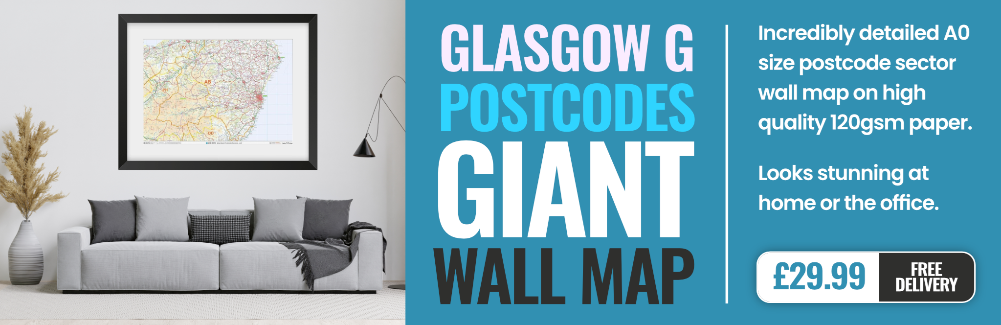
glasgow G33 Postcodes
Spending a fortune on conveyancing?

Compare instant, low-cost online quotes from trusted conveyancing solicitors.
Backed by experts, our no-obligation service searches through the best conveyancing quotes on the market to save you time and money.
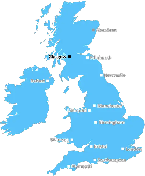
Glasgow (G33)
The G33 postcode area is located in the Glasgow postcode town region, within the county of Lanarkshire, and contains a total of 1343 individual postcodes.
There are 15 electoral wards in the G33 postcode area, including Alexandria, Arrochar, Clydebank, Dumbarton, Glasgow, Helensburgh which come under the local authority of the Glasgow City Council.
Combining the whole postcode region, 0% of people in G33 are classed as having an AB social grade, (i.e. 'white-collar' middle-upper class), compared to 27% across the UK.
This does not mean that the people of G33 are poorer than other areas, but it may give an indication that there are areas of deprivation.
The G33 postcode covers a variety of areas in the Glasgow district. It encompasses most of the area known as Barlanark, a residential area in the north of Glasgow. The area is predominantly home to working-class families, however, due to its low housing costs and mainly apartments it holds a diverse demographic, with recent immigrants having moved to the area in recent years.
The area of G33 is highly residential; the majority of dwellings are flats and there are numerous schools, such as Netherton and Barlanark Primary Schools, encompassed by it. Furthermore, it has its own local library, sports centre and parks dotted around the district. Housing is generally very low-cost, and with a few larger apartments, it makes the area an attractive option for those looking to live in Glasgow at a reasonable price away from the city centre.
The area's local shopping facilities are provided mostly by local convenience stores, such as Morrison's and Iceland, and other low-cost shops. There are a few fast food options in Barlanark and the local surroundings like McDonalds and Subway, as well as a handful of local restaurants in the district. Additionally, there are some larger supermarkets nearby like ASDA and Ashers pies, located in the nearby Shettleston.
Transport links in G33 are good, with two main railway stations located within the area � Carntyne and Shettleston � as well as a few local bus services running throughout the area and further throughout the city. Moreover, there are various bike paths surrounding the areas, providing commuters and leisure cyclists access to other parts of the city.
The area enjoys many social amenities, with several approaches to leisure, such as the Forge Shopping centre and the East End Remote Control car racing track located very close by. This combined with the numerous paths and wooden trails throughout the district, provide plenty of activities for locals and visitors alike.
G33 has much to offer given its location within the Glasgow district. With low-cost housing, a plethora of shopping positions, transport and social amenities, it makes it an attractive option for those looking to keep their costs low.

Demographics
Lanarkshire

G33 is located in the county of Lanarkshire, in Scotland.
Lanarkshire has a total population of 0, making it the largest county in the UK.
Lanarkshire has a total area of square miles, and a population density of people per square kilometre. For comparison, Greater London has a density of 5,618 people/km2.
| Outward Code | G33 |
| Postal Town | Glasgow |
| MSOA Name | Robroyston and Millerston |
| LSOA Name | |
| County | Lanarkshire |
| Region | Lanarkshire |
| Country | Scotland |
| Local Authority | Glasgow City |
| Area Classification | Unclassified |
G33 Electoral Wards
The postal region of G33, includes the local towns, villages, electoral wards and stations of:
Dig even deeper into the G33 postcode by clicking on a postcode below:
Click on an outward postal code below for more information about the area. Each 'outward' postcode give you a comprehensive list of all postcodes within the outward code area (G) and estimated address.
Click on an 'outward' code for more information. For example, the outward postcode page 'EC2M' will give you an alphabetical list covering all postcodes located in the region, from 'EC2M 1BB' through to 'EC2M 7YA'.
Chris H
Saturday, April 6, 2024
We don't have any views of G33 right now. If you live in G33 or have visited it, please help us to help others by telling others what you think of this neighbourhood.
Add your view of G33
People need your local expertise. If you live in G33 or have first-hand knowledge of the neighbourhood, please consider sharing your views. It's completely anonymous - all we ask is for your initials.
Please tell us what you like about the G33 postcode area, what you don't like, and what it's like to live or work here.
| LOCAL AMENITIES | |
| FAMILY FRIENDLY | |
| PARKING | |
| GREEN SPACES |
From the Postcode Area blog

Deciphering Crime Rates - a Deep Dive Into UK Postcode Analysis
Ever wondered about the crime rate in your UK postcode? You're not alone. We've dug deep into the data, uncovering trends and patterns that'll make your head spin.

Death of the High Street?
The BBC reports that despite councils' attempts to kurb them, the UK's high streets have seen a huge growth in fast food outlets. Could this mark the death knell for the Great British high street, and what can we do about it to halt its decline?

Discrimination by Postcode
You really couldn't make it up, could you? Some of the country's most vulnerable people are missing out on their weekly £25 Cold Weather Payment, just because the system that's in operation is discriminating against them because payments are based on postcode, rather than geographic location.

The Redesign is Underway
Well, the current website was absolutely in dire need of a good redesign - from the ground up. So I set out to pull it all apart and get it up and running again to become the most comprehensive guide to every postcode in the UK. And it's been a long, tough job from start to finish - and quite possibly the biggest project I've ever undertaken.
SOCIAL GRADES
According to census records, 0% of people here have a social grade of AB (highest), compared to the national average of 27%.