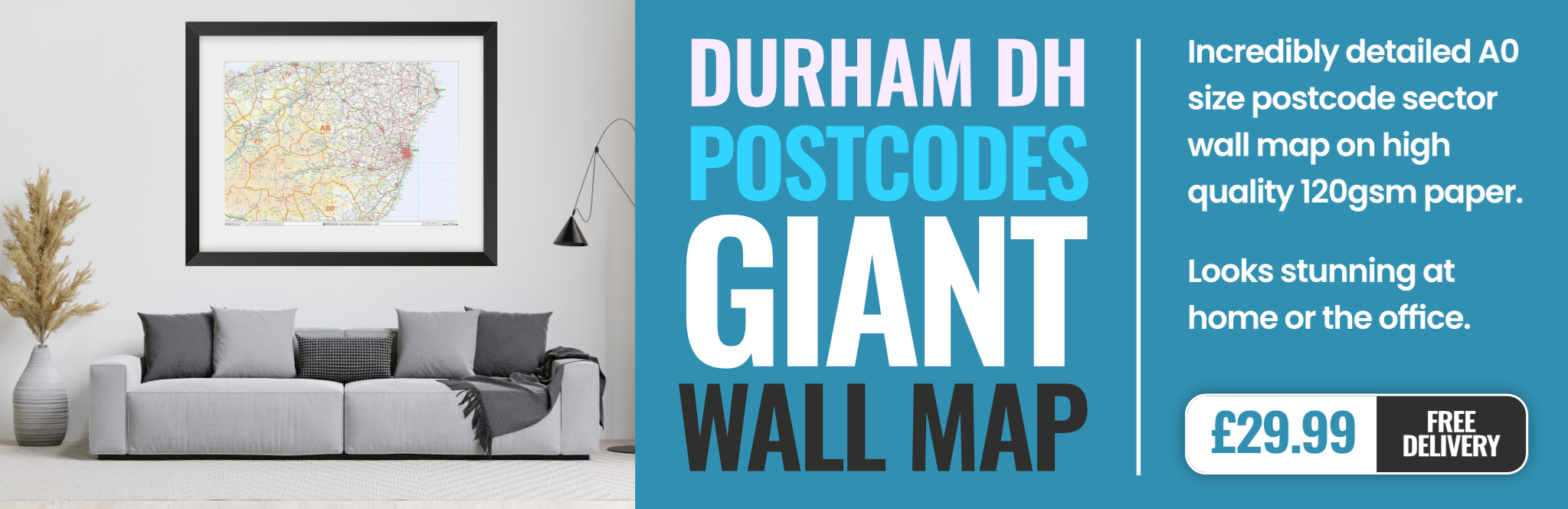
durham DH9 Postcodes
Spending a fortune on conveyancing?

Compare instant, low-cost online quotes from trusted conveyancing solicitors.
Backed by experts, our no-obligation service searches through the best conveyancing quotes on the market to save you time and money.
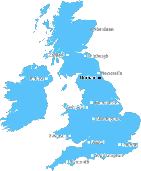
Durham (DH9)
The DH9 postcode area is located in the Durham postcode town region, within the county of Durham, and contains a total of 1399 individual postcodes.
There are 45 electoral wards in the DH9 postcode area, including Chester Le Street, Consett, Durham, Houghton Le Spring, Stanley which come under the local authority of the County Durham Council.
Combining the whole postcode region, 13% of people in DH9 are classed as having an AB social grade, (i.e. 'white-collar' middle-upper class), compared to 27% across the UK.
This does not mean that the people of DH9 are poorer than other areas, but it may give an indication that there are areas of deprivation.
The DH9 postcode is located in the Durham district of the UK and covers the small towns of Consett, Lanchester and Stanley as well as the nearby villages of Annfield Plain, Catchgate, Ebchester and Burnhope.
Consett is a former steel-works town that is now a popular destination for retail, leisure and recreational purposes. It is the main shopping and services centre for the area and is home to supermarkets, department stores, eateries, pubs and more. Lanchester is a small market town known for its architecturally-rich buildings, numerous churches and regular markets. Stanley, on the other hand, is an industrial town that has recently seen notable expansion due to new developments.
The local area is rich in entertainment, with a range of leisure and entertainment offerings. There are two golf courses, five parks, fishing at Putford and Edmundbyers, swimming pools, cinemas and many cultural attractions. Being located in County Durham, there is also easy access to tourist attractions such as castles, gardens and museums.
The area is served by two primary schools - Hazelwheat Primary School and Cleadon Village Primary School, and two secondary school - Consett Academy and Greenfield Community College, with numerous other high schools nearby. Further education is also available at both of the secondary schools, with Greenfield offering further education, A-levels and Apprenticeships, whereas Consett Academy offers GCSEs and A-levels.
The DH9 postcode has good transport links, with regular buses connecting to Sunderland, Newcastle and Darlington, and two rail stations � Lanchester and Consett � serving the area. Both stations provide direct trains to London and other destinations.
DH9 boasts a range of post offices, banks and medical and dental services, as well as excellent sporting facilities. The local community has supported numerous volunteering projects, including the development of youth football teams in the area, as well as fostering, care homes and numerous other charitable services.
In recent times, the area has seen significant development, with new retail parks and housing estates creating economic growth and further boosting the local economy. This cultural and economically prosperous area is a perfect destination for families, couples and individuals.

Demographics
Durham

DH9 is located in the county of Durham, in England.
Durham has a total population of 0, making it the largest county in the UK.
Durham has a total area of square miles, and a population density of people per square kilometre. For comparison, Greater London has a density of 5,618 people/km2.
| Outward Code | DH9 |
| Postal Town | Durham |
| MSOA Name | County Durham 004 |
| LSOA Name | County Durham 004A |
| County | Durham |
| Region | Durham |
| Country | England |
| Local Authority | County Durham |
| Area Classification | Largely Rural (rural including hub towns 50-79%) |
DH9 Electoral Wards
The postal region of DH9, includes the local towns, villages, electoral wards and stations of:
Dig even deeper into the DH9 postcode by clicking on a postcode below:
Click on an outward postal code below for more information about the area. Each 'outward' postcode give you a comprehensive list of all postcodes within the outward code area (DH) and estimated address.
Click on an 'outward' code for more information. For example, the outward postcode page 'EC2M' will give you an alphabetical list covering all postcodes located in the region, from 'EC2M 1BB' through to 'EC2M 7YA'.
Chris H
Monday, April 8, 2024
We don't have any views of DH9 right now. If you live in DH9 or have visited it, please help us to help others by telling others what you think of this neighbourhood.
Add your view of DH9
People need your local expertise. If you live in DH9 or have first-hand knowledge of the neighbourhood, please consider sharing your views. It's completely anonymous - all we ask is for your initials.
Please tell us what you like about the DH9 postcode area, what you don't like, and what it's like to live or work here.
| LOCAL AMENITIES | |
| FAMILY FRIENDLY | |
| PARKING | |
| GREEN SPACES |
Local News County Durham
Trains delayed between Durham and Newcastle after 'obstruction'
A train between Durham and Newcastle has collided with an obstructionon the line, causing delays this evening.
Northern EchoChapel at Ushaw, Durham, awarded 400k after arson
Historic England has given 400,000 for emergency works to safeguard a fire-damaged former at Ushaw Historic Housefrom further deterioration
Northern EchoProtest over sale of The Magnet, Grangetown, goes smoothly
Cleveland Police have confirmed that a protest over the sale of The Magnet, in Grangetown, has happened without incident
Northern EchoPolice investigate serious crash on A66 near Darlington
Police are investigating a serious crash on the A66, at Little Burdon roundabout near Darlington
Northern EchoFive 'unsung' villages you must visit in County Durham
County Durham is packed full of incredible places and amazing views.
Northern EchoProgress captured on Hopetown attraction in Darlington
Named Hopetown Darlington, the new attraction, which is expected to open this summer,willfocus onthe town's railway history.
Northern EchoFive County Durham cafs and pubs that are dog friendly
As a mission to find some places that allow dogs, we have pieced together five places in County Durham that allow dogs inside.
Northern EchoThe Fire Stationin Sunderland hosts street food village
Street eats and beats will return to Wearside after a bumper Easter Bank Holiday weekend at The Fire Station.
Northern EchoFrom the Postcode Area blog

Deciphering Crime Rates - a Deep Dive Into UK Postcode Analysis
Ever wondered about the crime rate in your UK postcode? You're not alone. We've dug deep into the data, uncovering trends and patterns that'll make your head spin.

Death of the High Street?
The BBC reports that despite councils' attempts to kurb them, the UK's high streets have seen a huge growth in fast food outlets. Could this mark the death knell for the Great British high street, and what can we do about it to halt its decline?

Discrimination by Postcode
You really couldn't make it up, could you? Some of the country's most vulnerable people are missing out on their weekly £25 Cold Weather Payment, just because the system that's in operation is discriminating against them because payments are based on postcode, rather than geographic location.

The Redesign is Underway
Well, the current website was absolutely in dire need of a good redesign - from the ground up. So I set out to pull it all apart and get it up and running again to become the most comprehensive guide to every postcode in the UK. And it's been a long, tough job from start to finish - and quite possibly the biggest project I've ever undertaken.
SOCIAL GRADES
According to census records, 13% of people here have a social grade of AB (highest), compared to the national average of 27%.