durham DH6 Postcodes
Spending a fortune on conveyancing?

Compare instant, low-cost online quotes from trusted conveyancing solicitors.
Backed by experts, our no-obligation service searches through the best conveyancing quotes on the market to save you time and money.
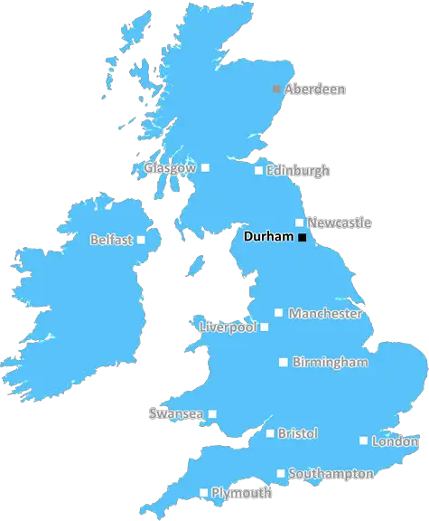
Durham (DH6)
The DH6 postcode area is located in the Durham postcode town region, within the county of Durham, and contains a total of 1140 individual postcodes.
There are 72 electoral wards in the DH6 postcode area, including Chester Le Street, Consett, Durham, Houghton Le Spring, Stanley which come under the local authority of the County Durham Council.
Combining the whole postcode region, 18% of people in DH6 are classed as having an AB social grade, (i.e. 'white-collar' middle-upper class), compared to 27% across the UK.
This does not mean that the people of DH6 are poorer than other areas, but it may give an indication that there are areas of deprivation.
DH6 is a postcode district in the Durham district of County Durham, UK. It covers the town of Wheatley Hill, and the villages of Easington Colliery, Ludworth, Crimdon Dene, Haswell Plough, Castle Eden, Thornley, Greatham, Wingate, Shotton Colliery and Tudhoe. It is the easternmost postcode district in Durham district.
DH6 is bordered to the east by the districts of Hartlepool and Stockton-on-Tees, to the south by TS21 in Hartlepool, to the west by the districts of DH5, DH4, DH2 and DH1 in Durham and to the north by SR8 in the City of Sunderland.
DH6 postcode district has an approximate population of 19,100 people in almost 7,700 households. The area has a relatively low density of population, particularly in places such as Wheatley Hill. The district has an approximate average income of just under �20,000 per annum, which is slightly lower than the Durham County average of �22,000. This is largely due to the lower wage earning occupations such as mining and farming which are more prevalent in this part of the district.
The area is predominantly rural, with Wheatley Hill, Easington Colliery and Crimdon Dene the only towns in the postcode district. All three of these have a mixture of housing types, ranging from terraced and semi-detached traditional bricks and mortar, to newer developments of mainly bungalows with good-sized gardens. The villages are mainly comprised of houses of all types, from the traditional rural cottages in Ludworth and Haswell Plough, to the more modern brick and tile boxes of Thornley and Greatham.
The majority of the district is surrounded by woodland, rolling hills, farmland and nature reserves, adding to the scenic beauty and tranquillity of the area. There are many notable landmarks throughout the postcode district, including Easington Colliery, Whiteley Woods nature reserve, Castle Eden Dene national nature reserve and a number of old coal mining pits.
The DH6 postcode district also has several local amenities including two primary schools, a number of nurseries, churches, community centres, a health centre, a library, a large country park and many pubs.

Demographics
Durham

DH6 is located in the county of Durham, in England.
Durham has a total population of 0, making it the largest county in the UK.
Durham has a total area of square miles, and a population density of people per square kilometre. For comparison, Greater London has a density of 5,618 people/km2.
| Outward Code | DH6 |
| Postal Town | Durham |
| MSOA Name | County Durham 027 |
| LSOA Name | County Durham 027E |
| County | Durham |
| Region | Durham |
| Country | England |
| Local Authority | County Durham |
| Area Classification | Largely Rural (rural including hub towns 50-79%) |
DH6 Electoral Wards
The postal region of DH6, includes the local towns, villages, electoral wards and stations of:
Dig even deeper into the DH6 postcode by clicking on a postcode below:
Click on an outward postal code below for more information about the area. Each 'outward' postcode give you a comprehensive list of all postcodes within the outward code area (DH) and estimated address.
Click on an 'outward' code for more information. For example, the outward postcode page 'EC2M' will give you an alphabetical list covering all postcodes located in the region, from 'EC2M 1BB' through to 'EC2M 7YA'.
Chris H
Saturday, April 6, 2024
We don't have any views of DH6 right now. If you live in DH6 or have visited it, please help us to help others by telling others what you think of this neighbourhood.
Add your view of DH6
People need your local expertise. If you live in DH6 or have first-hand knowledge of the neighbourhood, please consider sharing your views. It's completely anonymous - all we ask is for your initials.
Please tell us what you like about the DH6 postcode area, what you don't like, and what it's like to live or work here.
| LOCAL AMENITIES | |
| FAMILY FRIENDLY | |
| PARKING | |
| GREEN SPACES |
Local News County Durham
Cairngorm Drive in Darlington branded worst for potholes
A Darlington road has been branded the worst for potholes and another called the 'Grand Canyon'.
Northern EchoCouncil criticised for support to fix Darlington dental crisis
A council has been criticised for not doing enough to improve the ongoing dental crisis in Darlington.
Northern EchoMorrisons installs AI cameras to boost staff efficiency
Morrisons, which carried out a trial and found the cameras boosted staff efficiency, is the first UK retailer to integrate the technology
Northern EchoDarlington business thriving after retweet by Theo Paphitis
Darlington based business Rainbow Dandelion Crochet gets a Twitter boost from Theo Paphitis.
Northern EchoPub Quiz April 6: How smart are you? Find out now
Find out how good your general knowledge is with our quiz that will get you ready for your next trip to the pub.
Northern EchoCramlington woman with rare spinal condition walks again after surgery
This is the moment a woman who lived lying down to avoid being internally decapitated walks for the first time thanks to pioneering surgery.
Northern EchoMet Office: Hour by hour weather forecast for Darlington
The rain will be clearing slightly this weekend with brighter spells and lighter showers, according to the Met Office.
Northern EchoThree arrested after cocaine and cash found in Middlesbrough
Three men have been arrested after cocaine and cash were found in Middlesbrough property.
Northern EchoFrom the Postcode Area blog

Deciphering Crime Rates - a Deep Dive Into UK Postcode Analysis
Ever wondered about the crime rate in your UK postcode? You're not alone. We've dug deep into the data, uncovering trends and patterns that'll make your head spin.

Death of the High Street?
The BBC reports that despite councils' attempts to kurb them, the UK's high streets have seen a huge growth in fast food outlets. Could this mark the death knell for the Great British high street, and what can we do about it to halt its decline?

Discrimination by Postcode
You really couldn't make it up, could you? Some of the country's most vulnerable people are missing out on their weekly £25 Cold Weather Payment, just because the system that's in operation is discriminating against them because payments are based on postcode, rather than geographic location.

The Redesign is Underway
Well, the current website was absolutely in dire need of a good redesign - from the ground up. So I set out to pull it all apart and get it up and running again to become the most comprehensive guide to every postcode in the UK. And it's been a long, tough job from start to finish - and quite possibly the biggest project I've ever undertaken.
SOCIAL GRADES
According to census records, 18% of people here have a social grade of AB (highest), compared to the national average of 27%.