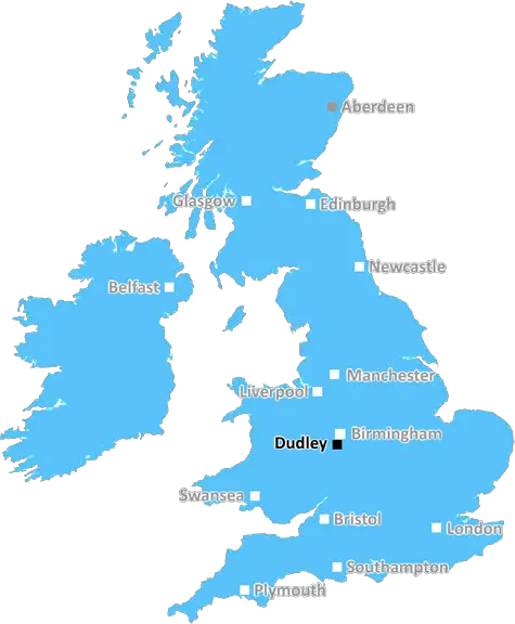
dudley DY14 Postcodes
Spending a fortune on conveyancing?

Compare instant, low-cost online quotes from trusted conveyancing solicitors.
Backed by experts, our no-obligation service searches through the best conveyancing quotes on the market to save you time and money.
Dudley (DY14)
The DY14 postcode area is located in the Dudley postcode town region, within the county of Shropshire, and contains a total of 681 individual postcodes.
There are 85 electoral wards in the DY14 postcode area, including Bewdley, Brierley Hill, Dudley, Kidderminster, Kingswinford, Stourbridge, Stourport-On-Severn, Tipton which come under the local authority of the Shropshire Council.
Combining the whole postcode region, 24% of people in DY14 are classed as having an AB social grade, (i.e. 'white-collar' middle-upper class), compared to 27% across the UK.
This does not mean that the people of DY14 are poorer than other areas, but it may give an indication that there are areas of deprivation.
The DY14 postcode covers the village of Cleobury Mortimer in South Shropshire, a historic market town on the border with Worcestershire. It is part of the broader Dudley district, one of the most populous metropolitan boroughs in the United Kingdom.
Built in the 13th century, Cleobury Mortimer is an established centre for small businesses and community life. It has a diverse range of shops, a library, swimming pool, post office and several eateries. The town also hosts annual events such as an agricultural show and markets.
The area itself is part of the landscape of south Shropshire, with rolling hills and old woodlands. It enjoys good views of the surrounding countryside and is situated on the River Rea.
The DY14 postcode is flanked to the north by the neighbouring postcode districts of DY10 to the east, DY13 to the south and DY9 to the west. The town is well connected to Worcestershire through the A4117 road, and the main Wsection of the West Midlands motorway is close by.
The area is mainly residential with a number of small business and tourism related services. It is home to a course at the National Paralympic Heritage Centre, as well as links to the national cycle and footpath network. Outdoor attractions nearby include the Wyre Forest and the adjacent golf courses at the Cleobury Golf Centre. The nearest railway station is Kidderminster.
The nearby villages of Neen Sollars and Acton Round are also part of the DY14 postcode and are lined with woodlands and orchards. Other local attractions include St Mary's Church, which features a Norman doorway and 15th century stained-glass windows.
The DY14 postcode district is a thriving and diverse area, with many modern urban amenities and activities for people of all ages. The area is well serviced by transport links, its proximity to countryside and exceptional landscape making it highly desirable for tourists, nature lovers and outdoor adventurers alike.

Demographics
Shropshire

DY14 is located in the county of Shropshire, in England.
Shropshire has a total population of 486,300, making it the 42nd largest county in the UK.
Shropshire has a total area of 1346 square miles, and a population density of 139 people per square kilometre. For comparison, Greater London has a density of 5,618 people/km2.
| Outward Code | DY14 |
| Postal Town | Dudley |
| MSOA Name | Shropshire 039 |
| LSOA Name | Shropshire 039E |
| County | Shropshire |
| Region | Shropshire |
| Country | England |
| Local Authority | Shropshire |
| Area Classification | Largely Rural (rural including hub towns 50-79%) |
DY14 Electoral Wards
The postal region of DY14, includes the local towns, villages, electoral wards and stations of:
Dig even deeper into the DY14 postcode by clicking on a postcode below:
Click on an outward postal code below for more information about the area. Each 'outward' postcode give you a comprehensive list of all postcodes within the outward code area (DY) and estimated address.
Click on an 'outward' code for more information. For example, the outward postcode page 'EC2M' will give you an alphabetical list covering all postcodes located in the region, from 'EC2M 1BB' through to 'EC2M 7YA'.
Chris H
Monday, April 8, 2024
We don't have any views of DY14 right now. If you live in DY14 or have visited it, please help us to help others by telling others what you think of this neighbourhood.
Add your view of DY14
People need your local expertise. If you live in DY14 or have first-hand knowledge of the neighbourhood, please consider sharing your views. It's completely anonymous - all we ask is for your initials.
Please tell us what you like about the DY14 postcode area, what you don't like, and what it's like to live or work here.
| LOCAL AMENITIES | |
| FAMILY FRIENDLY | |
| PARKING | |
| GREEN SPACES |
Local News Worcestershire
Kashif ton puts Worcestershire on top at Bears
Kashif Ali scores his maiden first-class century as Worcestershire enjoy a good first day with the bat at Warwickshire.
BBC NewsRedditch dog detective 'saves lost pooches'
Meet John Watton, who volunteers his skills and his thermal drone to detect lost dogs.
BBC NewsMan held on suspicion of terror-related offences
A 25-year-old man is in a stable condition in hospital after the attack.
BBC NewsCampaigner secures defibrillator in friend's memory
The device is to be fitted near to the scene where student paramedic Amy Shadbolt's friend died.
BBC NewsWorcester's green-fingered social media superstar
Meet Ben, whose exploits on social media as Worcester Terrariums are seen by millions!
BBC NewsCathedral's clock tower to reopen after four years
Worcester Cathedral's clock tower has been closed due to the pandemic and maintenance work.
BBC NewsYour pictures across the West Midlands
A collection of images submitted by BBC Weather Watchers shows the beauty of the West Midlands.
BBC NewsAt home with Miles from The Traitors
Meet Miles, who lives in Worcestershire with his husband Pip.
BBC NewsFrom the Postcode Area blog

Deciphering Crime Rates - a Deep Dive Into UK Postcode Analysis
Ever wondered about the crime rate in your UK postcode? You're not alone. We've dug deep into the data, uncovering trends and patterns that'll make your head spin.

Death of the High Street?
The BBC reports that despite councils' attempts to kurb them, the UK's high streets have seen a huge growth in fast food outlets. Could this mark the death knell for the Great British high street, and what can we do about it to halt its decline?

Discrimination by Postcode
You really couldn't make it up, could you? Some of the country's most vulnerable people are missing out on their weekly £25 Cold Weather Payment, just because the system that's in operation is discriminating against them because payments are based on postcode, rather than geographic location.

The Redesign is Underway
Well, the current website was absolutely in dire need of a good redesign - from the ground up. So I set out to pull it all apart and get it up and running again to become the most comprehensive guide to every postcode in the UK. And it's been a long, tough job from start to finish - and quite possibly the biggest project I've ever undertaken.
SOCIAL GRADES
According to census records, 24% of people here have a social grade of AB (highest), compared to the national average of 27%.