derby DE74 Postcodes
Spending a fortune on conveyancing?

Compare instant, low-cost online quotes from trusted conveyancing solicitors.
Backed by experts, our no-obligation service searches through the best conveyancing quotes on the market to save you time and money.
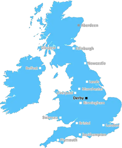
Derby (DE74)
The DE74 postcode area is located in the Derby postcode town region, within the county of Leicestershire, and contains a total of 367 individual postcodes.
There are 16 electoral wards in the DE74 postcode area, including Alfreton, Ashbourne, Bakewell, Belper, Burton-On-Trent, Derby, Heanor, Ilkeston, Matlock, Ripley, Swadlincote which come under the local authority of the North West Leicestershire Council.
Combining the whole postcode region, 28% of people in DE74 are classed as having an AB social grade, (i.e. 'white-collar' middle-upper class), compared to 27% across the UK.
This does not mean that the people of DE74 are wealthier - or higher class - than average, but it can be an indication that the area may be prospering and desirable to live in.
DE74 is a postcode district located in the town of Castle Donington in the Derby district of England.
It is situated in the East Midlands region of the United Kingdom and has a suburban, semi-rural character. The area includes a wide range of housing including older, terraced homes, larger, detached properties and modern housing developments, as well as plenty of rural countryside surrounding it. The postcode also includes the attractive market town of Donington, which has a thriving community with an array of independent stores, cafes and restaurants.
The postcode district has excellent transportation links, with the nearby East Midlands Parkway providing direct access to Nottingham, Leicester, Birmingham and London St Pancras. DE74 also offers efficient access to the rest of the city, with the popular A50 arterial route and the M1 motorway nearby, providing direct road connections to major cities across the Midlands, the North and the South.
There are a good choice of local amenities in the area. The nearby Castle Donington Retail Park offers a wide selection of stores, as well as supermarkets, banks, leisure and entertainment facilities. The postcode is also close to numerous leisure facilities, including many well-kept parks, golf courses and some outstanding countryside estates and historic locations.
The local education facilities in the district are impressive. primary and secondary schools, as well as nursery provision, are close by with good performance levels. Finally, DE74 is just 20 minutes from East Midlands Airport, providing great access to the rest of the UK and beyond.

Demographics

Leicestershire

DE74 is located in the county of Leicestershire, in England.
Leicestershire has a total population of 1,031,300, making it the 21st largest county in the UK.
Leicestershire has a total area of 832 square miles, and a population density of 478 people per square kilometre. For comparison, Greater London has a density of 5,618 people/km2.
| Outward Code | DE74 |
| Postal Town | Derby |
| MSOA Name | North West Leicestershire 002 |
| LSOA Name | North West Leicestershire 002D |
| County | Leicestershire |
| Region | Leicestershire |
| Country | England |
| Local Authority | North West Leicestershire |
| Area Classification | Largely Rural (rural including hub towns 50-79%) |
DE74 Electoral Wards
The postal region of DE74, includes the local towns, villages, electoral wards and stations of:
Dig even deeper into the DE74 postcode by clicking on a postcode below:
Click on an outward postal code below for more information about the area. Each 'outward' postcode give you a comprehensive list of all postcodes within the outward code area (DE) and estimated address.
Click on an 'outward' code for more information. For example, the outward postcode page 'EC2M' will give you an alphabetical list covering all postcodes located in the region, from 'EC2M 1BB' through to 'EC2M 7YA'.
Chris H
Tuesday, April 9, 2024
We don't have any views of DE74 right now. If you live in DE74 or have visited it, please help us to help others by telling others what you think of this neighbourhood.
Add your view of DE74
People need your local expertise. If you live in DE74 or have first-hand knowledge of the neighbourhood, please consider sharing your views. It's completely anonymous - all we ask is for your initials.
Please tell us what you like about the DE74 postcode area, what you don't like, and what it's like to live or work here.
| LOCAL AMENITIES | |
| FAMILY FRIENDLY | |
| PARKING | |
| GREEN SPACES |
Local News Derbyshire
Peak District wild campers rescued after underestimating Storm Kathleen conditions
Despite being well-equipped the pair did not expect the weather conditions to be that bad
Derby Telegraph143 affordable homes to be built in 'picturesque' Derbyshire village after planning permission secured
There will be a selection of two- and four-bedroom homes on the 15-acre plot
Derby TelegraphSpider Island live updates as overturned car causes Derby traffic chaos
The Allenton incident is causing 'major problems' for motorists this evening
Derby TelegraphNo play possible at Durham & Derbyshire on day two
No play is possible at Durham against Hampshire and Derbyshire against Gloucestershire for a second straight day.
BBC NewsRescue operation as two deer get tangled in rope
Animal rescuers say it was a "major issue" and one had rope wrapped around its neck.
BBC NewsMother and son who died in Chesterfield house fire are named
One woman managed to escape the Staunton Close property
Derby TelegraphA38 Little Eaton Island crash causes 'very slow' traffic in the area
One lane was closed on a stretch of the A38 near Derby
Derby TelegraphA608 Morley crash shut main Derbyshire road for three hours
A witness has described the crash, close to Morley Hayes Golf Club, as 'very serious'
Derby TelegraphFrom the Postcode Area blog

Deciphering Crime Rates - a Deep Dive Into UK Postcode Analysis
Ever wondered about the crime rate in your UK postcode? You're not alone. We've dug deep into the data, uncovering trends and patterns that'll make your head spin.

Death of the High Street?
The BBC reports that despite councils' attempts to kurb them, the UK's high streets have seen a huge growth in fast food outlets. Could this mark the death knell for the Great British high street, and what can we do about it to halt its decline?

Discrimination by Postcode
You really couldn't make it up, could you? Some of the country's most vulnerable people are missing out on their weekly £25 Cold Weather Payment, just because the system that's in operation is discriminating against them because payments are based on postcode, rather than geographic location.

The Redesign is Underway
Well, the current website was absolutely in dire need of a good redesign - from the ground up. So I set out to pull it all apart and get it up and running again to become the most comprehensive guide to every postcode in the UK. And it's been a long, tough job from start to finish - and quite possibly the biggest project I've ever undertaken.
SOCIAL GRADES
According to census records, 28% of people here have a social grade of AB (highest), compared to the national average of 27%.