derby DE15 Postcodes
Spending a fortune on conveyancing?

Compare instant, low-cost online quotes from trusted conveyancing solicitors.
Backed by experts, our no-obligation service searches through the best conveyancing quotes on the market to save you time and money.
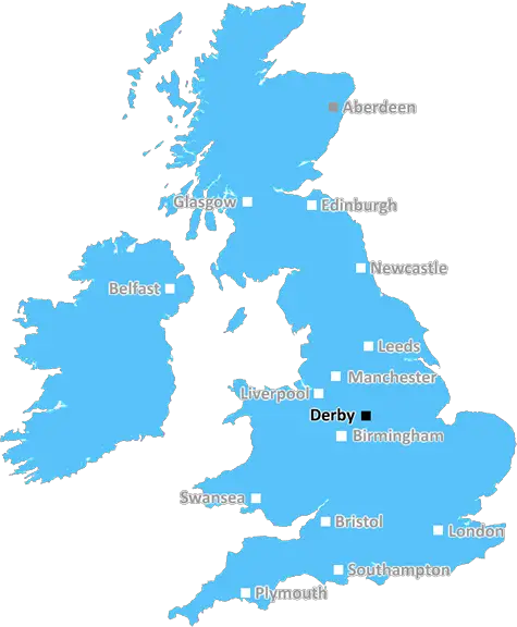
Derby (DE15)
The DE15 postcode area is located in the Derby postcode town region, within the county of Staffordshire, and contains a total of 554 individual postcodes.
There are 26 electoral wards in the DE15 postcode area, including Alfreton, Ashbourne, Bakewell, Belper, Burton-On-Trent, Derby, Heanor, Ilkeston, Matlock, Ripley, Swadlincote which come under the local authority of the East Staffordshire Council.
Combining the whole postcode region, 19% of people in DE15 are classed as having an AB social grade, (i.e. 'white-collar' middle-upper class), compared to 27% across the UK.
This does not mean that the people of DE15 are poorer than other areas, but it may give an indication that there are areas of deprivation.
The DE15 postcode covers a wide area in the town of Burton upon Trent and surrounding villages in the Derby district of England. The area includes the districts of Horninglow, Newhall and Winshill and the settlements of Branston, Newton Solney and Stapenhill. It also borders the county borders of Staffordshire and Leicestershire.
The postcode has become increasingly popular in recent years due to its close proximity to several major cities, such as Leicester, Birmingham and Nottingham. It also benefits from good imagery and transport links to other towns and cities, making commuting to work and leisure activities easy.
The DE15 postcode is home to a wide variety of people, including young professionals, families, retirees and students. The area is serviced by a range of supermarkets, restaurants, pubs, shops, banks, post offices and other facilities. Burton-on-Trent has a number of leisure facilities and attractions, including National Forest Adventure Farm, National Brewery Centre, the River Trent, and the nearby national peak and hill.
Education in the area is provided by the University of Derby, Regent College and a range of primary and secondary schools. The DE15 postcode also encompasses several green spaces, such as Burton Woods, Stapenhill Gardens and Bobbington Country Park. It is a location for a cross-section of sporting and recreational activities, such as cricket, rugby, golf, tennis, canoeing, rowing and angling.
The area also has a range of businesses, from manufacturing to farming, with many benefitting from the close proximity of Burton upon Trent's railway station and other transport links.
The DE15 postcode is a great place to live, with a high quality of life. It has a strong sense of community, with a range of activities available to anyone regardless of background and ability. As well as having diverse housing, excellent transport links and plenty of local amenities, the area also has good access to job and recreational opportunities.

Demographics

Staffordshire

DE15 is located in the county of Staffordshire, in England.
Staffordshire has a total population of 1,120,300, making it the 17th largest county in the UK.
Staffordshire has a total area of 1047 square miles, and a population density of 412 people per square kilometre. For comparison, Greater London has a density of 5,618 people/km2.
| Outward Code | DE15 |
| Postal Town | Derby |
| MSOA Name | East Staffordshire 010 |
| LSOA Name | East Staffordshire 010B |
| County | Staffordshire |
| Region | Staffordshire |
| Country | England |
| Local Authority | East Staffordshire |
| Area Classification | Urban with Significant Rural (rural including hub towns 26-49%) |
DE15 Electoral Wards
The postal region of DE15, includes the local towns, villages, electoral wards and stations of:
Dig even deeper into the DE15 postcode by clicking on a postcode below:
Click on an outward postal code below for more information about the area. Each 'outward' postcode give you a comprehensive list of all postcodes within the outward code area (DE) and estimated address.
Click on an 'outward' code for more information. For example, the outward postcode page 'EC2M' will give you an alphabetical list covering all postcodes located in the region, from 'EC2M 1BB' through to 'EC2M 7YA'.
Chris H
Sunday, April 7, 2024
We don't have any views of DE15 right now. If you live in DE15 or have visited it, please help us to help others by telling others what you think of this neighbourhood.
Add your view of DE15
People need your local expertise. If you live in DE15 or have first-hand knowledge of the neighbourhood, please consider sharing your views. It's completely anonymous - all we ask is for your initials.
Please tell us what you like about the DE15 postcode area, what you don't like, and what it's like to live or work here.
| LOCAL AMENITIES | |
| FAMILY FRIENDLY | |
| PARKING | |
| GREEN SPACES |
Local News Staffordshire
Bully boyfriend wielded knife as he threatened to kill his partner's child
Cameron Bennett, 23, was jailed at Stoke-on-Trent Crown Court
Stoke SentinelNew repaint project to benefit local communities
Local communities in Stafford are set to benefit from a new reuse project providing access to free unwanted tins of paint.
Staffordshire County CouncilStaffordshire receives electric bus boost for county towns
New electric buses will be running in Tamworth and Burton thanks to 3.1million government funding and investment from the transport providers.
Staffordshire County CouncilImprovements at major Staffordshire transport gateway progresses with new traffic arrangements
A scheme bringing major improvements to a key Staffordshire gateway junction is progressing well, with new traffic management introduced from next week.
Staffordshire County CouncilRedevelopment plan for library after grant win
Staffordshire County Council successfully bid for 199,000 from the Arts Council England to revamp Wombourne library.
Staffordshire County CouncilLife in 'UK's grimmest village'- and it's right here in Staffordshire
And that's not StokeonTrentLive saying it - it's the locals themselves
Stoke SentinelBurton Library set to undergo 1.3m refurb with extensive improvements
A 1.3million package of improvements at Burton library will see the transformation of space for people of all ages and various community groups.
Staffordshire County CouncilNew Director of Finance Appointed
A new Director of Finance has been appointed by Staffordshire County Council.
Staffordshire County CouncilFrom the Postcode Area blog

Deciphering Crime Rates - a Deep Dive Into UK Postcode Analysis
Ever wondered about the crime rate in your UK postcode? You're not alone. We've dug deep into the data, uncovering trends and patterns that'll make your head spin.

Death of the High Street?
The BBC reports that despite councils' attempts to kurb them, the UK's high streets have seen a huge growth in fast food outlets. Could this mark the death knell for the Great British high street, and what can we do about it to halt its decline?

Discrimination by Postcode
You really couldn't make it up, could you? Some of the country's most vulnerable people are missing out on their weekly £25 Cold Weather Payment, just because the system that's in operation is discriminating against them because payments are based on postcode, rather than geographic location.

The Redesign is Underway
Well, the current website was absolutely in dire need of a good redesign - from the ground up. So I set out to pull it all apart and get it up and running again to become the most comprehensive guide to every postcode in the UK. And it's been a long, tough job from start to finish - and quite possibly the biggest project I've ever undertaken.
SOCIAL GRADES
According to census records, 19% of people here have a social grade of AB (highest), compared to the national average of 27%.