dartford DA12 Postcodes
Spending a fortune on conveyancing?

Compare instant, low-cost online quotes from trusted conveyancing solicitors.
Backed by experts, our no-obligation service searches through the best conveyancing quotes on the market to save you time and money.
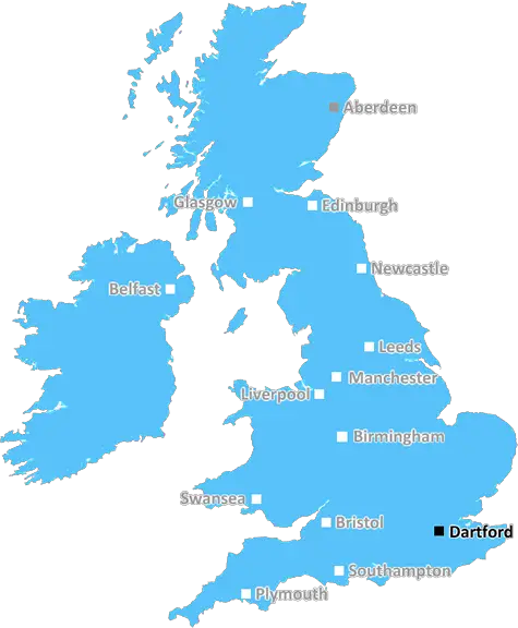
Dartford (DA12)
The DA12 postcode area is located in the Dartford postcode town region, within the county of Kent, and contains a total of 1356 individual postcodes.
There are 14 electoral wards in the DA12 postcode area, including Belvedere, Bexley, Bexleyheath, Dartford, Erith, Gravesend, Greenhithe, Longfield, Sidcup, Swanscombe, Welling which come under the local authority of the Gravesham Council.
Combining the whole postcode region, 17% of people in DA12 are classed as having an AB social grade, (i.e. 'white-collar' middle-upper class), compared to 27% across the UK.
This does not mean that the people of DA12 are poorer than other areas, but it may give an indication that there are areas of deprivation.
The DA12 postcode is located in the Dartford district of Kent, England. It covers the towns of Cobham, Chalk, Gravesend, and Shorne, and the villages of Luddesdown, Meopham, Northfleet, and Southfleet. It has a population of around 40,500 according to the 2011 census.
The economy of this postcode is diverse, with a range of businesses from manufacturing to professional services. The manufacturing sector has seen recent growth, in particular electronics, food production, precision engineering, and chemicals. In addition, the area is host to a number of logistics centres and warehouses, as well as being home to some major distribution industries.
DA12 benefits from a variety of transport links. The Dartford Crossing links Dartford to the nearby town of Thurrock, along the M25 motorway. There is also a range of local transportation services, such as buses and trains, with regular services connecting the postcode to surrounding areas.
At the heart of DA12 is education. Within the postcode, there are over 20 primary and secondary schools, alongside a further 8 colleges and universities. These offer a variety of courses in a variety of disciplines, making DA12 a popular choice for those looking to study or start a career.
The area has a strong sense of community, with a range of local organisations, such as community centres, churches, charities, and sports clubs all contributing to the area's wellbeing.
DA12 is also home to a number of leisure opportunities, from retail to parks and leisure centres. As well as this, the area provides an array of green spaces and supported arts venues.
The area is also well connected to nearby towns and villages, allowing easy access to more rural places of interest and attractions.
The area has strong historical links, with its close proximity to the nearby chalk cliffs providing both a fascinating geological backdrop and a number of associated archaeological sites.

Demographics

Kent

DA12 is located in the county of Kent, in England.
Kent has a total population of 1,820,400, making it the 6th largest county in the UK.
Kent has a total area of 1443 square miles, and a population density of 486 people per square kilometre. For comparison, Greater London has a density of 5,618 people/km2.
| Outward Code | DA12 |
| Postal Town | Dartford |
| MSOA Name | Gravesham 002 |
| LSOA Name | Gravesham 002A |
| County | Kent |
| Region | Kent |
| Country | England |
| Local Authority | Gravesham |
| Area Classification | Urban with Major Conurbation |
DA12 Electoral Wards
The postal region of DA12, includes the local towns, villages, electoral wards and stations of:
Dig even deeper into the DA12 postcode by clicking on a postcode below:
Click on an outward postal code below for more information about the area. Each 'outward' postcode give you a comprehensive list of all postcodes within the outward code area (DA) and estimated address.
Click on an 'outward' code for more information. For example, the outward postcode page 'EC2M' will give you an alphabetical list covering all postcodes located in the region, from 'EC2M 1BB' through to 'EC2M 7YA'.
Chris H
Sunday, April 7, 2024
We don't have any views of DA12 right now. If you live in DA12 or have visited it, please help us to help others by telling others what you think of this neighbourhood.
Add your view of DA12
People need your local expertise. If you live in DA12 or have first-hand knowledge of the neighbourhood, please consider sharing your views. It's completely anonymous - all we ask is for your initials.
Please tell us what you like about the DA12 postcode area, what you don't like, and what it's like to live or work here.
| LOCAL AMENITIES | |
| FAMILY FRIENDLY | |
| PARKING | |
| GREEN SPACES |
Local News Kent
Bradford City 1-0 Gillingham
Gillingham's play-off hopes take another dent with a second defeat in five days in Yorkshire.
BBC NewsMan charged over 300 thefts at Co-op and Tesco stores
A man is in court following a spate of thefts from several convenience stores in towns across the county.
Kent OnlineTT Group sells BT's old Southampton offices to consortium
BT's former Friary House office building has permission for residential conversion under permitted development rights.
Property WeekHomes England acquires Worthing site to deliver 250 homes
The acquisition forms part of the body's plans to regenerate challenging brownfield areas.
Property WeekOpening date announced for town's first Domino's
The opening date has been announced for a town's first Domino's branch inside a former high street bank.
Kent OnlineGames retailer signs HQ pre-let at London Brentwood Commercial Park
Wayland Games will occupy the space at Goodman's Essex development from 2025.
Property WeekPaddington hotel to go under the hammer for 16m at Strettons' April auction
The asset is among the highest-valued lots ever to be offered at an auction in the UK.
Property WeekUK Space Agency primed for Harwell Campus landing
The government agency has taken around 10,500 sq ft of space in the Quad Two building.
Property WeekFrom the Postcode Area blog

Deciphering Crime Rates - a Deep Dive Into UK Postcode Analysis
Ever wondered about the crime rate in your UK postcode? You're not alone. We've dug deep into the data, uncovering trends and patterns that'll make your head spin.

Death of the High Street?
The BBC reports that despite councils' attempts to kurb them, the UK's high streets have seen a huge growth in fast food outlets. Could this mark the death knell for the Great British high street, and what can we do about it to halt its decline?

Discrimination by Postcode
You really couldn't make it up, could you? Some of the country's most vulnerable people are missing out on their weekly £25 Cold Weather Payment, just because the system that's in operation is discriminating against them because payments are based on postcode, rather than geographic location.

The Redesign is Underway
Well, the current website was absolutely in dire need of a good redesign - from the ground up. So I set out to pull it all apart and get it up and running again to become the most comprehensive guide to every postcode in the UK. And it's been a long, tough job from start to finish - and quite possibly the biggest project I've ever undertaken.
SOCIAL GRADES
According to census records, 17% of people here have a social grade of AB (highest), compared to the national average of 27%.