coventry CV35 Postcodes
Spending a fortune on conveyancing?

Compare instant, low-cost online quotes from trusted conveyancing solicitors.
Backed by experts, our no-obligation service searches through the best conveyancing quotes on the market to save you time and money.
Coventry (CV35)
The CV35 postcode area is located in the Coventry postcode town region, within the county of Warwickshire, and contains a total of 1133 individual postcodes.
There are 157 electoral wards in the CV35 postcode area, including Atherstone, Bedworth, Coventry, Kenilworth, Leamington Spa, Nuneaton, Rugby, Shipston-On-Stour, Southam, Stratford-Upon-Avon, Warwick which come under the local authority of the Stratford-on-Avon Council.
Combining the whole postcode region, 37% of people in CV35 are classed as having an AB social grade, (i.e. 'white-collar' middle-upper class), compared to 27% across the UK.
This does not mean that the people of CV35 are wealthier - or higher class - than average, but it can be an indication that the area may be prospering and desirable to live in.
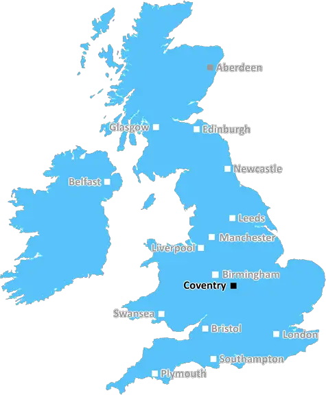
The postcode CV35 is located in Coventry, West Midlands, in the United Kingdom. It covers the rural areas north of Coventry, mainly including the villages of Offchurch, Burton Dassett and Wappenbury. The total population of CV35 is around 2,500 people (according the 2011 Census).
The rural landscape of CV35 is particularly attractive due to the hilly terrain, with the most notable ridge being the Burton Dassett Hills. This area of Coventry is also home to a variety of wildlife, with several species of non-native deer thriving in the area, as well as the usual red kites, buzzards and owls.
Coventry University is located 9 miles from CV35, and Rugby School, one of the UK's oldest public schools, is located 17 miles away. The nearby towns of Rugby and Leamington Spa provide a good range of amenities, such as supermarkets, bars, restaurants, theatres, and entertainment centres.
The closest mainline train station is located in Leamington Spa, offering direct services to London Euston and Birmingham New Street. For commuters, there are a number of regular bus services from the villages in CV35 into Coventry city centre, typically taking 40 minutes.
The area of CV35 is also well connected to national motorway networks, with the M45 and M42 providing connections to the M6, M5, M40 and M1. For international travel, Birmingham Airport is less than an hour away, offering flights to over 80 destinations across 5 continents.
Finally the area is famous for its beautiful rural walks, which offer stunning views of the surrounding countryside and villages. Popular routes include the Offchurch Greenway, the Two Shires Way and the Grand Union Canal Walk.

Demographics

Warwickshire

CV35 is located in the county of Warwickshire, in England.
Warwickshire has a total population of 556,800, making it the 39th largest county in the UK.
Warwickshire has a total area of 763 square miles, and a population density of 281 people per square kilometre. For comparison, Greater London has a density of 5,618 people/km2.
| Outward Code | CV35 |
| Postal Town | Coventry |
| MSOA Name | Stratford-on-Avon 005 |
| LSOA Name | Stratford-on-Avon 005C |
| County | Warwickshire |
| Region | Warwickshire |
| Country | England |
| Local Authority | Stratford-on-Avon |
| Area Classification | Mainly Rural (rural including hub towns >=80%) |
CV35 Electoral Wards
The postal region of CV35, includes the local towns, villages, electoral wards and stations of:
Dig even deeper into the CV35 postcode by clicking on a postcode below:
Click on an outward postal code below for more information about the area. Each 'outward' postcode give you a comprehensive list of all postcodes within the outward code area (CV) and estimated address.
Click on an 'outward' code for more information. For example, the outward postcode page 'EC2M' will give you an alphabetical list covering all postcodes located in the region, from 'EC2M 1BB' through to 'EC2M 7YA'.
Chris H
Sunday, April 7, 2024
We don't have any views of CV35 right now. If you live in CV35 or have visited it, please help us to help others by telling others what you think of this neighbourhood.
Add your view of CV35
People need your local expertise. If you live in CV35 or have first-hand knowledge of the neighbourhood, please consider sharing your views. It's completely anonymous - all we ask is for your initials.
Please tell us what you like about the CV35 postcode area, what you don't like, and what it's like to live or work here.
| LOCAL AMENITIES | |
| FAMILY FRIENDLY | |
| PARKING | |
| GREEN SPACES |
Local News Warwickshire
Castle Farm Leisure Centre hosts successful open day featuring special guest Colin Jackson
Hundreds of people from the local community came along to a free open day on Saturday 24 February to celebrate the official opening of Castle Farm Leisure Centre in Kenilworth.
Warwick District CouncilUnlocking low carbon adoption: The Warwickshire Business Energy Advice Service
A new Business Energy Advice Service has launched across Warwickshire.
Warwick District CouncilKenilworth Carnival Funfair
Warwick District Council is sharing more information on its decision to no longer allow the funfair, which is part of Kenilworth's annual summer carnival to take place on Abbey Fields.
Warwick District CouncilPolice take 100 off the road in insurance crackdown
Police have so far completed 11 days of operations tackling uninsured drivers.
BBC NewsWarwickshire author goes global
Meet Charlotte, whose book about life as an autistic person is an Amazon bestseller.
BBC NewsCoventry boost play-off hopes by beating Leeds
Coventry City stay in the mix for a Championship play-off spot with victory over Leeds United, who miss the chance to go top.
BBC NewsThe 2 Tone shirt returns!
Hummel's iconic shirt back on sale for fans.
BBC NewsLand transfers completed for new Country Park
A significant milestone in the development of the 49-hectare (121-acre) Tachbrook Country Park has been reached with the completion of the transfer of land from developers AC Lloyd to Warwick District&hellip
Warwick District CouncilFrom the Postcode Area blog

Deciphering Crime Rates - a Deep Dive Into UK Postcode Analysis
Ever wondered about the crime rate in your UK postcode? You're not alone. We've dug deep into the data, uncovering trends and patterns that'll make your head spin.

Death of the High Street?
The BBC reports that despite councils' attempts to kurb them, the UK's high streets have seen a huge growth in fast food outlets. Could this mark the death knell for the Great British high street, and what can we do about it to halt its decline?

Discrimination by Postcode
You really couldn't make it up, could you? Some of the country's most vulnerable people are missing out on their weekly £25 Cold Weather Payment, just because the system that's in operation is discriminating against them because payments are based on postcode, rather than geographic location.

The Redesign is Underway
Well, the current website was absolutely in dire need of a good redesign - from the ground up. So I set out to pull it all apart and get it up and running again to become the most comprehensive guide to every postcode in the UK. And it's been a long, tough job from start to finish - and quite possibly the biggest project I've ever undertaken.
SOCIAL GRADES
According to census records, 37% of people here have a social grade of AB (highest), compared to the national average of 27%.