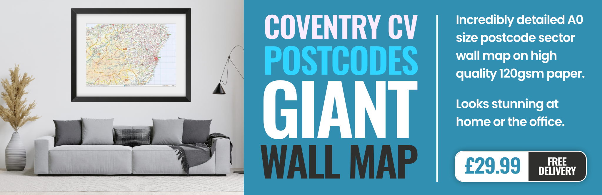
coventry CV3 Postcodes
Spending a fortune on conveyancing?

Compare instant, low-cost online quotes from trusted conveyancing solicitors.
Backed by experts, our no-obligation service searches through the best conveyancing quotes on the market to save you time and money.
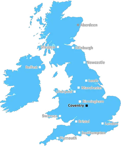
Coventry (CV3)
The CV3 postcode area is located in the Coventry postcode town region, within the county of West Midlands, and contains a total of 1804 individual postcodes.
There are 28 electoral wards in the CV3 postcode area, including Atherstone, Bedworth, Coventry, Kenilworth, Leamington Spa, Nuneaton, Rugby, Shipston-On-Stour, Southam, Stratford-Upon-Avon, Warwick which come under the local authority of the Coventry Council.
Combining the whole postcode region, 23% of people in CV3 are classed as having an AB social grade, (i.e. 'white-collar' middle-upper class), compared to 27% across the UK.
This does not mean that the people of CV3 are poorer than other areas, but it may give an indication that there are areas of deprivation.
CV3 is a postcode district located in the Coventry district of England. The postcode district covers the area stretching from Coventry City Centre to the southeast, Wyken to the west and Cheylesmore to the north. The total area of this postcode district is approximately 11 km2, making it one of the largest postcode districts in Coventry.
CV3 is primarily an urban area populated by densely packed housing in the outer suburban areas such as Walsgrave, Wyken, Styvechale and Cheylesmore. The inner parts of the district comprise mostly industrial and retail locations such as the popular Coventry Marketplace and Ricoh Arena. Other popular locations in the area include The Phoenix Retail Park, the Coventry Sports and Leisure Centre, and the nearby West Orchards Shopping Centre.
Education provision in the area is provided by several primary and secondary schools in the district, such as Woodlands School, Jardine Crescent Primary School, and Foxford School and Community Arts College. These provide students with a wide range of options for further education. Public transport in the district is mainly provided by National Express buses and local taxi services, with Coventry railway station and Canley station also available.
The area has strong regional connections, being close to the motorway network, and it is a highly desirable residential area in Coventry, as evidenced by the recently completed River Park development which is located close to the postcode. The region also provides many opportunities for leisure activities, such as walks along the River Sowe, sports activities at the city's various venues, and events at the Ricoh Arena.
In terms of green space, CV3 has several parks and recreation areas within its limits, including Earlsdon Park, Wyken Web Recreation Ground and Wyken Croft Nature Reserve. The postcode district is also home to a number of local events, such as the Steeple Arts Fair which takes place in September every year and the Big Coventry Festival which takes place in the summer.

Demographics
West Midlands

CV3 is located in the county of West Midlands, in England.
West Midlands has a total population of 2,864,900, making it the 2nd largest county in the UK.
West Midlands has a total area of 348 square miles, and a population density of 3177 people per square kilometre. For comparison, Greater London has a density of 5,618 people/km2.
| Outward Code | CV3 |
| Postal Town | Coventry |
| MSOA Name | Coventry 038 |
| LSOA Name | Coventry 038D |
| County | West Midlands |
| Region | West Midlands |
| Country | England |
| Local Authority | Coventry |
| Area Classification | Urban with City and Town |
CV3 Electoral Wards
The postal region of CV3, includes the local towns, villages, electoral wards and stations of:
Dig even deeper into the CV3 postcode by clicking on a postcode below:
Click on an outward postal code below for more information about the area. Each 'outward' postcode give you a comprehensive list of all postcodes within the outward code area (CV) and estimated address.
Click on an 'outward' code for more information. For example, the outward postcode page 'EC2M' will give you an alphabetical list covering all postcodes located in the region, from 'EC2M 1BB' through to 'EC2M 7YA'.
FU, Coventry
Saturday, August 1, 2020
Erm ye it's a whack place to live. Erm did you know that I walked to the shops and I seen big boys. I really want to be like them.it really is a shelly place to live. erm 0 yo could walk to the shops. did you know i saw an unborn baby in CV3!!
Add your view of CV3
People need your local expertise. If you live in CV3 or have first-hand knowledge of the neighbourhood, please consider sharing your views. It's completely anonymous - all we ask is for your initials.
Please tell us what you like about the CV3 postcode area, what you don't like, and what it's like to live or work here.
| LOCAL AMENITIES | |
| FAMILY FRIENDLY | |
| PARKING | |
| GREEN SPACES |
Local News West Midlands
Shearer Property Regen gets go-ahead for first phase of 450m Coventry masterplan
Phase one of the city-centre scheme will include 991 homes.
Property WeekMcLaren and Aventicum get go-ahead on 31-storey Birmingham PBSA tower
The redevelopment project will see the delivery of both student and BTR units.
Property WeekBarberry Industrial unveils plans for 14m West Midlands shed
The firm plans to deliver a 70,000 sq ft distribution and logistics scheme at Quinton Business Park in Birmingham.
Property WeekStoford secures tenant for Warwickshire manufacturing unit
Opus International Products has signed a 10-year lease for Unit F at Leamington Spa business park.
Property WeekParagon Bank funds 21.7m Elevate regeneration project in Birmingham
The development finance will support Elevate Property Group to create 111 city-centre homes.
Property WeekGreenlight wins approval for Redditch industrial scheme
The development will see the partial demolition of the existing buildings and the construction of126,715 sq ft of industrial space.
Property WeekTrio of lettings at Greenlight Kings Heath in Birmingham
Headlam Group, GAP Plastics and McDonald's have signed long-term leases at the site.
Property WeekIntegritas partners with Homes for Students for Newcastle scheme
The development, Deakin's Yard, will comprise a total of 273 student accommodation units.
Property WeekFrom the Postcode Area blog

Deciphering Crime Rates - a Deep Dive Into UK Postcode Analysis
Ever wondered about the crime rate in your UK postcode? You're not alone. We've dug deep into the data, uncovering trends and patterns that'll make your head spin.

Death of the High Street?
The BBC reports that despite councils' attempts to kurb them, the UK's high streets have seen a huge growth in fast food outlets. Could this mark the death knell for the Great British high street, and what can we do about it to halt its decline?

Discrimination by Postcode
You really couldn't make it up, could you? Some of the country's most vulnerable people are missing out on their weekly £25 Cold Weather Payment, just because the system that's in operation is discriminating against them because payments are based on postcode, rather than geographic location.

The Redesign is Underway
Well, the current website was absolutely in dire need of a good redesign - from the ground up. So I set out to pull it all apart and get it up and running again to become the most comprehensive guide to every postcode in the UK. And it's been a long, tough job from start to finish - and quite possibly the biggest project I've ever undertaken.
SOCIAL GRADES
According to census records, 23% of people here have a social grade of AB (highest), compared to the national average of 27%.