chester CH66 Postcodes
Spending a fortune on conveyancing?

Compare instant, low-cost online quotes from trusted conveyancing solicitors.
Backed by experts, our no-obligation service searches through the best conveyancing quotes on the market to save you time and money.
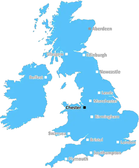
Chester (CH66)
The CH66 postcode area is located in the Chester postcode town region, within the county of Cheshire, and contains a total of 1013 individual postcodes.
There are 6 electoral wards in the CH66 postcode area, including Bagillt, Birkenhead, Buckley, Chester, Deeside, Ellesmere Port, Flint, Holywell, Mold, Neston, Prenton, Wallasey, Wirral which come under the local authority of the Cheshire West and Chester Council.
Combining the whole postcode region, 20% of people in CH66 are classed as having an AB social grade, (i.e. 'white-collar' middle-upper class), compared to 27% across the UK.
This does not mean that the people of CH66 are poorer than other areas, but it may give an indication that there are areas of deprivation.
The CH66 postcode district is in the Chester district of Cheshire, situated in the North West of England. It covers an area of approximately 12 square miles, stretching between the A41 and the A55 highways, with a population density of 1,685 people per square mile.
The postcode district is centred around the Westerleigh area of Ellesmere Port and the area of Little Sutton,in the north-east corner of Ellesmere Port. The area is bounded to the south by Chester city centre, to the north by the Wirral peninsula, to the east by the River Dee, and to the west by the Mersey estuary. The postcode district is composed mostly of residential areas with some light industry. Areas of the postcode area include Cheshire Oaks Retail Park, Stanlow Industrial Estate, a large part of the Eastham suburb, and Ellesmere Port Boat Museum.
The district is well-served by transport links, with the M53 motorway running through the area, providing access to both the Wirral and Liverpool. Chester station also provides access to Liverpool and Manchester in one direction, and Wales in the other direction.
CH66 has a number of schools in the area, including Stanney Grange Primary School, St Barnabas CE Primary School, St Werburgh's C of E Primary School, Westminster Primary School, Primrose Hill Primary School and Christ Church Primary School. There are also a number of secondary schools in the postcode district, including Eastham High School and St James High School.
The district is home to some fantastic leisure activities, from the nearby Chester Zoo and Cheshire Oaks Retail Park to the historic canals and rivers that flow through the area. Other attractions include the blue planet aquarium and Cheshire's many stately homes. There are also plenty of entertainment and shopping options, with supermarkets, restaurants, pubs and clubs.

Demographics

Cheshire

CH66 is located in the county of Cheshire, in England.
Cheshire has a total population of 1,048,100, making it the 19th largest county in the UK.
Cheshire has a total area of 904 square miles, and a population density of 447 people per square kilometre. For comparison, Greater London has a density of 5,618 people/km2.
| Outward Code | CH66 |
| Postal Town | Chester |
| MSOA Name | Cheshire West and Chester 025 |
| LSOA Name | Cheshire West and Chester 025A |
| County | Cheshire |
| Region | Cheshire |
| Country | England |
| Local Authority | Cheshire West and Chester |
| Area Classification | Urban with Significant Rural (rural including hub towns 26-49%) |
CH66 Electoral Wards
The postal region of CH66, includes the local towns, villages, electoral wards and stations of:
Dig even deeper into the CH66 postcode by clicking on a postcode below:
Click on an outward postal code below for more information about the area. Each 'outward' postcode give you a comprehensive list of all postcodes within the outward code area (CH) and estimated address.
Click on an 'outward' code for more information. For example, the outward postcode page 'EC2M' will give you an alphabetical list covering all postcodes located in the region, from 'EC2M 1BB' through to 'EC2M 7YA'.
Chris H
Wednesday, April 10, 2024
We don't have any views of CH66 right now. If you live in CH66 or have visited it, please help us to help others by telling others what you think of this neighbourhood.
Add your view of CH66
People need your local expertise. If you live in CH66 or have first-hand knowledge of the neighbourhood, please consider sharing your views. It's completely anonymous - all we ask is for your initials.
Please tell us what you like about the CH66 postcode area, what you don't like, and what it's like to live or work here.
| LOCAL AMENITIES | |
| FAMILY FRIENDLY | |
| PARKING | |
| GREEN SPACES |
From the Postcode Area blog

Deciphering Crime Rates - a Deep Dive Into UK Postcode Analysis
Ever wondered about the crime rate in your UK postcode? You're not alone. We've dug deep into the data, uncovering trends and patterns that'll make your head spin.

Death of the High Street?
The BBC reports that despite councils' attempts to kurb them, the UK's high streets have seen a huge growth in fast food outlets. Could this mark the death knell for the Great British high street, and what can we do about it to halt its decline?

Discrimination by Postcode
You really couldn't make it up, could you? Some of the country's most vulnerable people are missing out on their weekly £25 Cold Weather Payment, just because the system that's in operation is discriminating against them because payments are based on postcode, rather than geographic location.

The Redesign is Underway
Well, the current website was absolutely in dire need of a good redesign - from the ground up. So I set out to pull it all apart and get it up and running again to become the most comprehensive guide to every postcode in the UK. And it's been a long, tough job from start to finish - and quite possibly the biggest project I've ever undertaken.
SOCIAL GRADES
According to census records, 20% of people here have a social grade of AB (highest), compared to the national average of 27%.