chester CH48 Postcodes
Spending a fortune on conveyancing?

Compare instant, low-cost online quotes from trusted conveyancing solicitors.
Backed by experts, our no-obligation service searches through the best conveyancing quotes on the market to save you time and money.
Chester (CH48)
The CH48 postcode area is located in the Chester postcode town region, within the county of Merseyside, and contains a total of 619 individual postcodes.
There are 6 electoral wards in the CH48 postcode area, including Bagillt, Birkenhead, Buckley, Chester, Deeside, Ellesmere Port, Flint, Holywell, Mold, Neston, Prenton, Wallasey, Wirral which come under the local authority of the Wirral Council.
Combining the whole postcode region, 40% of people in CH48 are classed as having an AB social grade, (i.e. 'white-collar' middle-upper class), compared to 27% across the UK.
This does not mean that the people of CH48 are wealthier - or higher class - than average, but it can be an indication that the area may be prospering and desirable to live in.
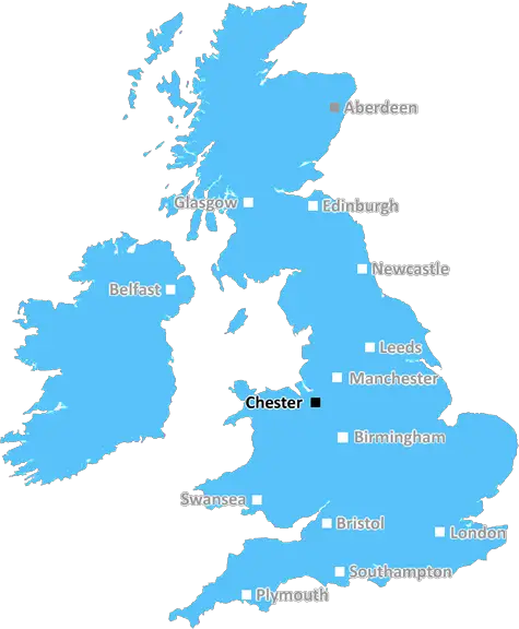
The CH48 postcode is located in the west of the Chester district in the North West of England. It encompasses several areas including Caldy, Gayton, Heswall, Irby, Neston, Parkgate and Thurstaston. Historically, it was located in the historic county of Cheshire.
Located on the Wirral Peninsula in the Dee Estuary, CH48 is a popular destination and has some excellent amenities. The area provides easy access to the nearby towns and cities of Chester, Liverpool and Birkenhead, and the modern M53 motorway. The area also has good bus and train links, making it an ideal location for both tourists and commuters.
The area is intrinsically linked to the natural environment, with its stunning coastline, rolling hills, woodlands, rivers and wide open green spaces. Within the area of CH48 lies Leasowe and Meols Common, as well as plenty of quaint villages and hamlets. Even today, this is an area of contrast between rural and urban with plenty of choice for shoppers, leisure and recreation.
CH48 is a great area for young families. It boasts of educational institutions, such as West Cheshire College, weatherhill primary academy and St David's Catholic Primary School, all of which promote academic excellence. There are also a range of recreational activities to enjoy including golf, sailing and sailing, and plenty of countryside walks close by.
CH48 is a sought-after area for many people, with its combination of excellent local amenities, excellent transport links and stunning natural beauty. It has a strong community spirit with a number of local non-profit organisations and groups as well. It is also within easy reach of a range of beaches, making it a perfect holiday destination.

Demographics

Merseyside

CH48 is located in the county of Merseyside, in England.
Merseyside has a total population of 1,406,400, making it the 9th largest county in the UK.
Merseyside has a total area of 250 square miles, and a population density of 2174 people per square kilometre. For comparison, Greater London has a density of 5,618 people/km2.
| Outward Code | CH48 |
| Postal Town | Chester |
| MSOA Name | Wirral 026 |
| LSOA Name | Wirral 026A |
| County | Merseyside |
| Region | Merseyside |
| Country | England |
| Local Authority | Wirral |
| Area Classification | Urban with Major Conurbation |
CH48 Electoral Wards
The postal region of CH48, includes the local towns, villages, electoral wards and stations of:
Dig even deeper into the CH48 postcode by clicking on a postcode below:
Click on an outward postal code below for more information about the area. Each 'outward' postcode give you a comprehensive list of all postcodes within the outward code area (CH) and estimated address.
Click on an 'outward' code for more information. For example, the outward postcode page 'EC2M' will give you an alphabetical list covering all postcodes located in the region, from 'EC2M 1BB' through to 'EC2M 7YA'.
Chris H
Tuesday, April 9, 2024
We don't have any views of CH48 right now. If you live in CH48 or have visited it, please help us to help others by telling others what you think of this neighbourhood.
Add your view of CH48
People need your local expertise. If you live in CH48 or have first-hand knowledge of the neighbourhood, please consider sharing your views. It's completely anonymous - all we ask is for your initials.
Please tell us what you like about the CH48 postcode area, what you don't like, and what it's like to live or work here.
| LOCAL AMENITIES | |
| FAMILY FRIENDLY | |
| PARKING | |
| GREEN SPACES |
Local News Merseyside
Lancashire-Surrey rained off again to end in draw
Lancashire's opening County Championship Division One game with holders Surrey is rained off again to end in a draw.
BBC NewsCouncil bans junk food ads on its billboards
Sefton Council hopes the ban will help in the fight against high levels of child and adult obesity.
BBC NewsThe elections taking place in Cheshire this year
Council and Police and Crime Commissioner elections are taking place in Cheshire in May 2024.
BBC NewsCounty Championship day four as it happened
Relive day four's action in the first round of County Championship matches.
BBC NewsBradford stabbing victim named as manhunt continues
Kulsuma Akter, from Oldham, was stabbed to death while pushing her baby in a pram, police say.
BBC NewsMeet the babies helping to improve childhood health
Subject to funding, the babies will continue to be studied throughout their lives
BBC NewsKlopp warns Man Utd must improve to beat Arsenal
Liverpool boss Jurgen Klopp warns Manchester United they will lose to Arsenal next month if they don't improve on their Old Trafford performance against his side.
BBC NewsGrand National changes after 'taking opinions'
Voices from across the racing world and welfare groups have informed changes to this year's race.
BBC NewsFrom the Postcode Area blog

Deciphering Crime Rates - a Deep Dive Into UK Postcode Analysis
Ever wondered about the crime rate in your UK postcode? You're not alone. We've dug deep into the data, uncovering trends and patterns that'll make your head spin.

Death of the High Street?
The BBC reports that despite councils' attempts to kurb them, the UK's high streets have seen a huge growth in fast food outlets. Could this mark the death knell for the Great British high street, and what can we do about it to halt its decline?

Discrimination by Postcode
You really couldn't make it up, could you? Some of the country's most vulnerable people are missing out on their weekly £25 Cold Weather Payment, just because the system that's in operation is discriminating against them because payments are based on postcode, rather than geographic location.

The Redesign is Underway
Well, the current website was absolutely in dire need of a good redesign - from the ground up. So I set out to pull it all apart and get it up and running again to become the most comprehensive guide to every postcode in the UK. And it's been a long, tough job from start to finish - and quite possibly the biggest project I've ever undertaken.
SOCIAL GRADES
According to census records, 40% of people here have a social grade of AB (highest), compared to the national average of 27%.