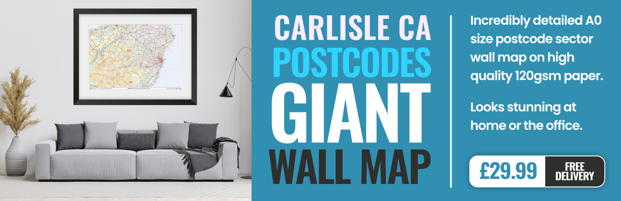
carlisle CA1 Postcodes
Spending a fortune on conveyancing?

Compare instant, low-cost online quotes from trusted conveyancing solicitors.
Backed by experts, our no-obligation service searches through the best conveyancing quotes on the market to save you time and money.
Carlisle (CA1)
The CA1 postcode area is located in the Carlisle postcode town region, within the county of Cumbria, and contains a total of 938 individual postcodes.
There are 7 electoral wards in the CA1 postcode area, including Alston, Appleby-In-Westmorland, Beckermet, Brampton, Carlisle, Cleator, Cleator Moor, Cockermouth, Egremont, Frizington, Holmrook, Keswick, Kirkby Stephen, Maryport, Moor Row, Penrith, Ravenglass, Seascale, St Bees, Whitehaven, Wigton, Workington which come under the local authority of the Carlisle Council.
Combining the whole postcode region, 13% of people in CA1 are classed as having an AB social grade, (i.e. 'white-collar' middle-upper class), compared to 27% across the UK.
This does not mean that the people of CA1 are poorer than other areas, but it may give an indication that there are areas of deprivation.
The CA1 postcode is located in Cumbria, UK. It is comprised of parts of the city of Carlisle and the local district of Carlisle. The postcode stretches from the southern area of the city out towards the northern suburbs, which is largely residential. There are also some industrial areas included within the postcode.
The main area within the postcode is the centre of Carlisle. This is the main shopping, business, entertainment and cultural centre of the city, and contains many historical buildings, hotels, restaurants and cafes, as well as a variety of shops and businesses.
The CA1 postcode is bordered by the towns and villages of Botcherby, Kingstown, Currock, Gretna, Harraby, Morton and Stanwix. It is also adjacent to the A74(M) and two of Carlisle's main railway stations.
The postcode is served by a number of bus and rail services. These include services from mid-Cumbria and the North West, Kirkby Stephen, Penrith and Lancaster. The area also has two railway stations: Carlisle Citadel Station and Carlisle Station.
The area around the CA1 postcode has various recreational facilities and places of interest, including Carlisle Racecourse, local parks and gardens, and a range of shops and amenities. The area also has a range of educational establishments, from primary schools to tertiary institutions, making it an ideal place for young families to move to.
The area also has plenty of history, being home to some of Carlisle's oldest monuments and buildings. These include the ancient Carlisle Castle, the Cathedral, the Botchergate monument and Carlisle's many other historical sights.
TheCA1 postcode is a great place to live, offering plenty of amenities, cultural activities, activities for families, and good transport links. It is close to major routes and provides easy access to Cumbria and the North West.

Demographics
Cumbria

CA1 is located in the county of Cumbria, in England.
Cumbria has a total population of 497,900, making it the 41st largest county in the UK.
Cumbria has a total area of 2612 square miles, and a population density of 73 people per square kilometre. For comparison, Greater London has a density of 5,618 people/km2.

| Outward Code | CA1 |
| Postal Town | Carlisle |
| MSOA Name | Carlisle 008 |
| LSOA Name | Carlisle 008C |
| County | Cumbria |
| Region | Cumbria |
| Country | England |
| Local Authority | Carlisle |
| Area Classification | Urban with Significant Rural (rural including hub towns 26-49%) |
CA1 Electoral Wards
The postal region of CA1, includes the local towns, villages, electoral wards and stations of:
Dig even deeper into the CA1 postcode by clicking on a postcode below:
Click on an outward postal code below for more information about the area. Each 'outward' postcode give you a comprehensive list of all postcodes within the outward code area (CA) and estimated address.
Click on an 'outward' code for more information. For example, the outward postcode page 'EC2M' will give you an alphabetical list covering all postcodes located in the region, from 'EC2M 1BB' through to 'EC2M 7YA'.
Chris H
Monday, April 8, 2024
We don't have any views of CA1 right now. If you live in CA1 or have visited it, please help us to help others by telling others what you think of this neighbourhood.
Add your view of CA1
People need your local expertise. If you live in CA1 or have first-hand knowledge of the neighbourhood, please consider sharing your views. It's completely anonymous - all we ask is for your initials.
Please tell us what you like about the CA1 postcode area, what you don't like, and what it's like to live or work here.
| LOCAL AMENITIES | |
| FAMILY FRIENDLY | |
| PARKING | |
| GREEN SPACES |
From the Postcode Area blog

Deciphering Crime Rates - a Deep Dive Into UK Postcode Analysis
Ever wondered about the crime rate in your UK postcode? You're not alone. We've dug deep into the data, uncovering trends and patterns that'll make your head spin.

Death of the High Street?
The BBC reports that despite councils' attempts to kurb them, the UK's high streets have seen a huge growth in fast food outlets. Could this mark the death knell for the Great British high street, and what can we do about it to halt its decline?

Discrimination by Postcode
You really couldn't make it up, could you? Some of the country's most vulnerable people are missing out on their weekly £25 Cold Weather Payment, just because the system that's in operation is discriminating against them because payments are based on postcode, rather than geographic location.

The Redesign is Underway
Well, the current website was absolutely in dire need of a good redesign - from the ground up. So I set out to pull it all apart and get it up and running again to become the most comprehensive guide to every postcode in the UK. And it's been a long, tough job from start to finish - and quite possibly the biggest project I've ever undertaken.
SOCIAL GRADES
According to census records, 13% of people here have a social grade of AB (highest), compared to the national average of 27%.