cardiff CF71 Postcodes
Spending a fortune on conveyancing?

Compare instant, low-cost online quotes from trusted conveyancing solicitors.
Backed by experts, our no-obligation service searches through the best conveyancing quotes on the market to save you time and money.
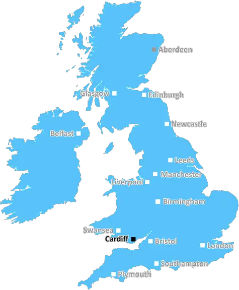
Cardiff (CF71)
The CF71 postcode area is located in the Cardiff postcode town region, within the county of Glamorgan, and contains a total of 388 individual postcodes.
There are 63 electoral wards in the CF71 postcode area, including Aberdare, Bargoed, Barry, Bridgend, Caerphilly, Cardiff, Cowbridge, Dinas Powys, Ferndale, Hengoed, Llantwit Major, Maesteg, Merthyr Tydfil, Mountain Ash, Penarth, Pentre, Pontyclun, Pontypridd, Porth, Porthcawl, Tonypandy, Treharris, Treorchy which come under the local authority of the The Vale of Glamorgan Council.
Combining the whole postcode region, 43% of people in CF71 are classed as having an AB social grade, (i.e. 'white-collar' middle-upper class), compared to 27% across the UK.
This does not mean that the people of CF71 are wealthier - or higher class - than average, but it can be an indication that the area may be prospering and desirable to live in.
CF71 is a postcode district located in the Welsh county of the Vale of Glamorgan. It encompasses parts of the towns of Cowbridge, Llantwit Major, St Athan, Llancarfan, and Bonvilston.
The population of the area is around 8,500. It is a predominantly rural area, comprising hamlets, villages and small towns. There are some retail outlets in the towns of Cowbridge and Llantwit Major, but it is generally a sleepy area with a high elderly population.
CF71 is mainly an agricultural area, with some industry in the form of recycled paper and cardboard companies. The area is home to some beautiful rolling countryside, with the River Thaw running through it and the Bristol Channel close to the south.
The area also hosts a number of heritage sites, such as the remains of the Cistercian Abbey in Llantwit Major, historic castles in Flemingston and Cowbridge, and the Brown Historical Museum in Bonvilston.
The area is attractive for commuters looking for a rural lifestyle but the convenience of commuting to Cardiff and Bristol, which are both within 40 miles of the area. Likewise, Swansea is around 25 miles away, and Cardiff airport less than an hour away by car.
CF71 is also ideal for outdoor pursuits, with its rural setting, large number of national nature reserves and parks, and its proximity to the Wye Valley and Gower Peninsula. Additionally, there are two golf courses in the postcode district, in Cowbridge and Llantwit Major.
Schools in the area include Cowbridge Comprehensive School, Ysgol Gyfun Gymraeg Bro Morgannwg and St Curigs Primary. Local events in the area take place throughout the year, such as the Cowbridge Food Festival, Llantwit Major Country Fair, and Llancarfan Summer Fayre.

Demographics
Glamorgan

CF71 is located in the county of Glamorgan, in Wales.
Glamorgan has a total population of 0, making it the largest county in the UK.
Glamorgan has a total area of square miles, and a population density of people per square kilometre. For comparison, Greater London has a density of 5,618 people/km2.
| Outward Code | CF71 |
| Postal Town | Cardiff |
| MSOA Name | The Vale of Glamorgan 002 |
| LSOA Name | The Vale of Glamorgan 002A |
| County | Glamorgan |
| Region | Glamorgan |
| Country | Wales |
| Local Authority | The Vale of Glamorgan |
| Area Classification | Unclassified |
CF71 Electoral Wards
The postal region of CF71, includes the local towns, villages, electoral wards and stations of:
Dig even deeper into the CF71 postcode by clicking on a postcode below:
Click on an outward postal code below for more information about the area. Each 'outward' postcode give you a comprehensive list of all postcodes within the outward code area (CF) and estimated address.
Click on an 'outward' code for more information. For example, the outward postcode page 'EC2M' will give you an alphabetical list covering all postcodes located in the region, from 'EC2M 1BB' through to 'EC2M 7YA'.
Chris H
Wednesday, April 17, 2024
We don't have any views of CF71 right now. If you live in CF71 or have visited it, please help us to help others by telling others what you think of this neighbourhood.
Add your view of CF71
People need your local expertise. If you live in CF71 or have first-hand knowledge of the neighbourhood, please consider sharing your views. It's completely anonymous - all we ask is for your initials.
Please tell us what you like about the CF71 postcode area, what you don't like, and what it's like to live or work here.
| LOCAL AMENITIES | |
| FAMILY FRIENDLY | |
| PARKING | |
| GREEN SPACES |
From the Postcode Area blog

Deciphering Crime Rates - a Deep Dive Into UK Postcode Analysis
Ever wondered about the crime rate in your UK postcode? You're not alone. We've dug deep into the data, uncovering trends and patterns that'll make your head spin.

Death of the High Street?
The BBC reports that despite councils' attempts to kurb them, the UK's high streets have seen a huge growth in fast food outlets. Could this mark the death knell for the Great British high street, and what can we do about it to halt its decline?

Discrimination by Postcode
You really couldn't make it up, could you? Some of the country's most vulnerable people are missing out on their weekly £25 Cold Weather Payment, just because the system that's in operation is discriminating against them because payments are based on postcode, rather than geographic location.

The Redesign is Underway
Well, the current website was absolutely in dire need of a good redesign - from the ground up. So I set out to pull it all apart and get it up and running again to become the most comprehensive guide to every postcode in the UK. And it's been a long, tough job from start to finish - and quite possibly the biggest project I've ever undertaken.
SOCIAL GRADES
According to census records, 43% of people here have a social grade of AB (highest), compared to the national average of 27%.