cardiff CF38 Postcodes
Spending a fortune on conveyancing?

Compare instant, low-cost online quotes from trusted conveyancing solicitors.
Backed by experts, our no-obligation service searches through the best conveyancing quotes on the market to save you time and money.
Cardiff (CF38)
The CF38 postcode area is located in the Cardiff postcode town region, within the county of Glamorgan, and contains a total of 523 individual postcodes.
There are 11 electoral wards in the CF38 postcode area, including Aberdare, Bargoed, Barry, Bridgend, Caerphilly, Cardiff, Cowbridge, Dinas Powys, Ferndale, Hengoed, Llantwit Major, Maesteg, Merthyr Tydfil, Mountain Ash, Penarth, Pentre, Pontyclun, Pontypridd, Porth, Porthcawl, Tonypandy, Treharris, Treorchy which come under the local authority of the Rhondda Cynon Taf Council.
Combining the whole postcode region, 22% of people in CF38 are classed as having an AB social grade, (i.e. 'white-collar' middle-upper class), compared to 27% across the UK.
This does not mean that the people of CF38 are poorer than other areas, but it may give an indication that there are areas of deprivation.
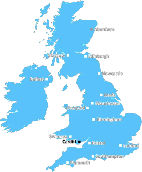
The CF38 postcode is an area located within the county of Rhondda Cynon Taf in South Wales, and is part of the UK post town of Pontypridd. The area includes the towns of Treforest, Pontypridd and Tonyrefail. It is also commonly known as 'the Valleys', due to its geography of rolling hills and mountainous terrain.
The CF38 postcode is served by several roads, including the A4232 link road, the A470 trunk road and the B4275. Via these roads, residents of the area can access multiple towns and cities for work or leisure, while public transport includes bus and train services.
The CF38 postcode district has a number of primary and secondary schools, such as the Ysgol Gyfun Rhydfelen in Treforest, and provides a number of leisure activities, although these have been temporarily suspended during the COVID-19 pandemic. These include golf courses, parks, libraries, outdoor leisure centres, cinemas, pubs, restaurants and sports clubs.
The area is well known for its history and culture; its industrial heritage has been preserved in the ruins of the old ironworks at Pontypridd, while the Valleys folk museum highlights the history and culture of the area, with an emphasis on art, industry, education and social life.
Temperatures in the CF38 postcode can vary throughout the year. Winters are generally cool and wet, while summers are normally warm and dry. The region receives around 650mm of rainfall and an average of 145 days of sunshine each year.
In terms of the economy,CF38 is home to a variety of businesses, from the large industrial units that operate on the Treforest Industrial Estate to small independent retailers. Additionally, due to the areas proximity to the cities of Cardiff and Newport, it is an attractive location for commuters, and many of the local residents travel to work in the city.
A number of large employers also operate within and around the CF38 postcode. These include Tata Steel, BAE Systems, Hitachi Rail Europe Limited and Welsh Government. The area is also home to numerous healthcare providers, including the Princess of Wales Hospital, the Royal Glamorgan Hospital and the University Hospital of Wales, ensuring locals have access to healthcare services.

Demographics
Glamorgan

CF38 is located in the county of Glamorgan, in Wales.
Glamorgan has a total population of 0, making it the largest county in the UK.
Glamorgan has a total area of square miles, and a population density of people per square kilometre. For comparison, Greater London has a density of 5,618 people/km2.
| Outward Code | CF38 |
| Postal Town | Cardiff |
| MSOA Name | Rhondda Cynon Taf 027 |
| LSOA Name | Rhondda Cynon Taf 027C |
| County | Glamorgan |
| Region | Glamorgan |
| Country | Wales |
| Local Authority | Rhondda Cynon Taf |
| Area Classification | Unclassified |
CF38 Electoral Wards
The postal region of CF38, includes the local towns, villages, electoral wards and stations of:
Dig even deeper into the CF38 postcode by clicking on a postcode below:
Click on an outward postal code below for more information about the area. Each 'outward' postcode give you a comprehensive list of all postcodes within the outward code area (CF) and estimated address.
Click on an 'outward' code for more information. For example, the outward postcode page 'EC2M' will give you an alphabetical list covering all postcodes located in the region, from 'EC2M 1BB' through to 'EC2M 7YA'.
Chris H
Monday, April 15, 2024
We don't have any views of CF38 right now. If you live in CF38 or have visited it, please help us to help others by telling others what you think of this neighbourhood.
Add your view of CF38
People need your local expertise. If you live in CF38 or have first-hand knowledge of the neighbourhood, please consider sharing your views. It's completely anonymous - all we ask is for your initials.
Please tell us what you like about the CF38 postcode area, what you don't like, and what it's like to live or work here.
| LOCAL AMENITIES | |
| FAMILY FRIENDLY | |
| PARKING | |
| GREEN SPACES |
From the Postcode Area blog

Deciphering Crime Rates - a Deep Dive Into UK Postcode Analysis
Ever wondered about the crime rate in your UK postcode? You're not alone. We've dug deep into the data, uncovering trends and patterns that'll make your head spin.

Death of the High Street?
The BBC reports that despite councils' attempts to kurb them, the UK's high streets have seen a huge growth in fast food outlets. Could this mark the death knell for the Great British high street, and what can we do about it to halt its decline?

Discrimination by Postcode
You really couldn't make it up, could you? Some of the country's most vulnerable people are missing out on their weekly £25 Cold Weather Payment, just because the system that's in operation is discriminating against them because payments are based on postcode, rather than geographic location.

The Redesign is Underway
Well, the current website was absolutely in dire need of a good redesign - from the ground up. So I set out to pull it all apart and get it up and running again to become the most comprehensive guide to every postcode in the UK. And it's been a long, tough job from start to finish - and quite possibly the biggest project I've ever undertaken.
SOCIAL GRADES
According to census records, 22% of people here have a social grade of AB (highest), compared to the national average of 27%.