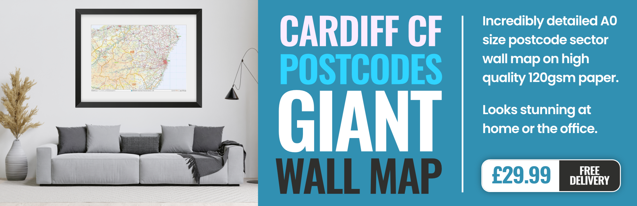
cardiff CF31 Postcodes
Spending a fortune on conveyancing?

Compare instant, low-cost online quotes from trusted conveyancing solicitors.
Backed by experts, our no-obligation service searches through the best conveyancing quotes on the market to save you time and money.
Cardiff (CF31)
The CF31 postcode area is located in the Cardiff postcode town region, within the county of Glamorgan, and contains a total of 1453 individual postcodes.
There are 32 electoral wards in the CF31 postcode area, including Aberdare, Bargoed, Barry, Bridgend, Caerphilly, Cardiff, Cowbridge, Dinas Powys, Ferndale, Hengoed, Llantwit Major, Maesteg, Merthyr Tydfil, Mountain Ash, Penarth, Pentre, Pontyclun, Pontypridd, Porth, Porthcawl, Tonypandy, Treharris, Treorchy which come under the local authority of the Bridgend Council.
Combining the whole postcode region, 22% of people in CF31 are classed as having an AB social grade, (i.e. 'white-collar' middle-upper class), compared to 27% across the UK.
This does not mean that the people of CF31 are poorer than other areas, but it may give an indication that there are areas of deprivation.
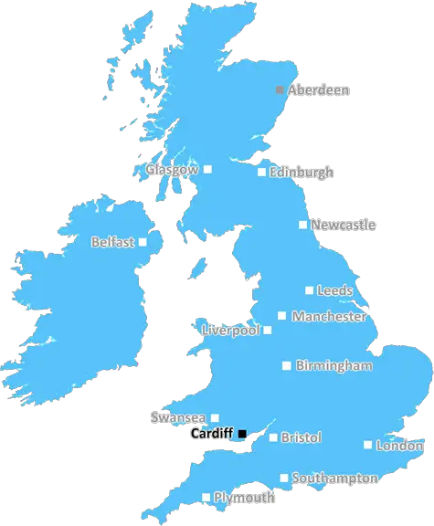
CF31 postcode is in the Cardiff area in South Wales, United Kingdom. It is approximately 13 miles away from Cardiff City centre. The postcode covers a large area and includes parts of Bridgend County Borough along with areas of Aberavon, Taibach, Skewen and Pencoed. The area has a population of around 23,800 of which the majority (59.3%) are white British according to a 2011 census.
The area has excellent transport links with good access to motorways (M4) and rail links. The closest major train station is Bridgend. The area also benefits from easy access to local public transport services with regular bus services running to major sites in the area such as Cardiff City Centre.
The area is full of character and boasts a wide variety of shops, pubs and restaurants. There is also a range of leisure activities and places to visit, such as nature reserves, parks, outdoor activities centres and leisure facilities. Furthermore, CF31 is home to two great universities, the University of South Wales and Swansea University.
CF31 is close to some of the most beautiful scenery the UK has to offer, with plenty of opportunities to escape the hustle and bustle of the city in beautiful countryside surroundings. Popular landmarks nearby include the Ogmore Castle, Kenfig National Nature Reserve, Rhondda Valley, and the stunning Gower coastline.
The local residents are friendly and welcoming and the area has a strong community spirit. The postcode has a longstanding tradition of community festivals and annual events such as the Bridgend Literary Festival and the Aberavon Beach Festival.
The area caters well for education, with many primary and secondary schools, as well as a range of universities and colleges within the area. In short, CF31 has a lot to offer and is a great place to live with plenty of opportunities for recreation and to enjoy a quality lifestyle.

Demographics
Glamorgan

CF31 is located in the county of Glamorgan, in Wales.
Glamorgan has a total population of 0, making it the largest county in the UK.
Glamorgan has a total area of square miles, and a population density of people per square kilometre. For comparison, Greater London has a density of 5,618 people/km2.
| Outward Code | CF31 |
| Postal Town | Cardiff |
| MSOA Name | Bridgend 014 |
| LSOA Name | Bridgend 014A |
| County | Glamorgan |
| Region | Glamorgan |
| Country | Wales |
| Local Authority | Bridgend |
| Area Classification | Unclassified |
CF31 Electoral Wards
The postal region of CF31, includes the local towns, villages, electoral wards and stations of:
Dig even deeper into the CF31 postcode by clicking on a postcode below:
Click on an outward postal code below for more information about the area. Each 'outward' postcode give you a comprehensive list of all postcodes within the outward code area (CF) and estimated address.
Click on an 'outward' code for more information. For example, the outward postcode page 'EC2M' will give you an alphabetical list covering all postcodes located in the region, from 'EC2M 1BB' through to 'EC2M 7YA'.
Chris H
Sunday, April 7, 2024
We don't have any views of CF31 right now. If you live in CF31 or have visited it, please help us to help others by telling others what you think of this neighbourhood.
Add your view of CF31
People need your local expertise. If you live in CF31 or have first-hand knowledge of the neighbourhood, please consider sharing your views. It's completely anonymous - all we ask is for your initials.
Please tell us what you like about the CF31 postcode area, what you don't like, and what it's like to live or work here.
| LOCAL AMENITIES | |
| FAMILY FRIENDLY | |
| PARKING | |
| GREEN SPACES |
From the Postcode Area blog

Deciphering Crime Rates - a Deep Dive Into UK Postcode Analysis
Ever wondered about the crime rate in your UK postcode? You're not alone. We've dug deep into the data, uncovering trends and patterns that'll make your head spin.

Death of the High Street?
The BBC reports that despite councils' attempts to kurb them, the UK's high streets have seen a huge growth in fast food outlets. Could this mark the death knell for the Great British high street, and what can we do about it to halt its decline?

Discrimination by Postcode
You really couldn't make it up, could you? Some of the country's most vulnerable people are missing out on their weekly £25 Cold Weather Payment, just because the system that's in operation is discriminating against them because payments are based on postcode, rather than geographic location.

The Redesign is Underway
Well, the current website was absolutely in dire need of a good redesign - from the ground up. So I set out to pull it all apart and get it up and running again to become the most comprehensive guide to every postcode in the UK. And it's been a long, tough job from start to finish - and quite possibly the biggest project I've ever undertaken.
SOCIAL GRADES
According to census records, 22% of people here have a social grade of AB (highest), compared to the national average of 27%.