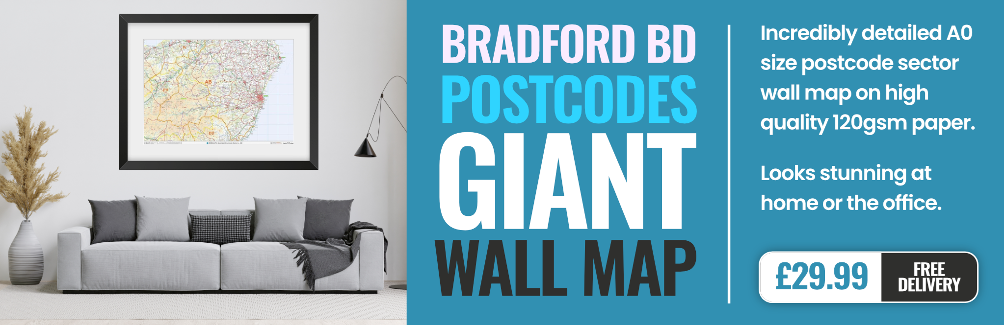
bradford BD6 Postcodes
Spending a fortune on conveyancing?

Compare instant, low-cost online quotes from trusted conveyancing solicitors.
Backed by experts, our no-obligation service searches through the best conveyancing quotes on the market to save you time and money.
Bradford (BD6)
The BD6 postcode area is located in the Bradford postcode town region, within the county of West Yorkshire, and contains a total of 892 individual postcodes.
There are 6 electoral wards in the BD6 postcode area, including Bingley, Bradford, Cleckheaton, Keighley, Settle, Shipley, Skipton which come under the local authority of the Bradford Council.
Combining the whole postcode region, 12% of people in BD6 are classed as having an AB social grade, (i.e. 'white-collar' middle-upper class), compared to 27% across the UK.
This does not mean that the people of BD6 are poorer than other areas, but it may give an indication that there are areas of deprivation.
BD6 is an urban postcode located in the Bradford District in West Yorkshire, England. It covers an area of ??the city of Bradford, stretching from the centre to the south. The postcode includes Wyke, Wibsey, part of High Flats, and part of West Bowling.
The population of BD6 is predominately of white British ethnicity, making up 80%. The remaining 20% is made up of Indian, Pakistani, Bangladeshi, and other ethnic backgrounds. The area is known for its friendly, largely tight-knit community, and many streets and lanes are linked together as a result.
Most of the housing in BD6 is provided by the local authority, and the area has a low rate of owner-occupancy. The median house price is relatively low compared to other nearby areas. Although, the area has seen some development in recent years, such as apartments and housing schemes.
BD6 is close to attractions such as the National Science and Media Museum, Eureka! The National Children's Museum, and Piece Hall; as well as parks including Lister Park, Lucy Hall Park, and Royds Hall Park. Shopping amenities can be found around Spen Valley and Reevy Road, where you can find supermarkets, banks, and other convenience stores.
Transport links in the area are good, with connecting bus services to Bradford city centre and the surrounding areas. The nearest railway station is Frizinghall which is within walking distance of BD6, offering frequent services to Leeds, Manchester, and York.
Education services are provided by a number of schools and colleges such as Beckfoot Upper Heaton, West Bowling High School, Green Lane Primary School, and the Bradford and Illkley College. Other children's services include library, leisure, and sport facilities.
There are also plenty of places to socialise in and around the BD6 postcode. The area offers a range of cafes, pubs, and bars, as well as other leisure and cultural attractions such as theatres, cinemas, art galleries, and concert venues.
In recent years, there has been an increase in the number of cultural festivals taking place in the area, most notably the Bradford Mela which celebrates South Asian culture. The BD6 postcode is also home to a number of community and charity events, such as the Wyke Community Awards, the Jubilee of Hope, and the Wibsey Remember Community Event which offer local residents an opportunity to come together and enjoy a variety of activities.

Demographics
West Yorkshire

BD6 is located in the county of West Yorkshire, in England.
West Yorkshire has a total population of 2,299,700, making it the 4th largest county in the UK.
West Yorkshire has a total area of 783 square miles, and a population density of 1133 people per square kilometre. For comparison, Greater London has a density of 5,618 people/km2.

| Outward Code | BD6 |
| Postal Town | Bradford |
| MSOA Name | Bradford 060 |
| LSOA Name | Bradford 060A |
| County | West Yorkshire |
| Region | West Yorkshire |
| Country | England |
| Local Authority | Bradford |
| Area Classification | Urban with Major Conurbation |
BD6 Electoral Wards
The postal region of BD6, includes the local towns, villages, electoral wards and stations of:
Dig even deeper into the BD6 postcode by clicking on a postcode below:
Click on an outward postal code below for more information about the area. Each 'outward' postcode give you a comprehensive list of all postcodes within the outward code area (BD) and estimated address.
Click on an 'outward' code for more information. For example, the outward postcode page 'EC2M' will give you an alphabetical list covering all postcodes located in the region, from 'EC2M 1BB' through to 'EC2M 7YA'.
Chris H
Saturday, April 6, 2024
We don't have any views of BD6 right now. If you live in BD6 or have visited it, please help us to help others by telling others what you think of this neighbourhood.
Add your view of BD6
People need your local expertise. If you live in BD6 or have first-hand knowledge of the neighbourhood, please consider sharing your views. It's completely anonymous - all we ask is for your initials.
Please tell us what you like about the BD6 postcode area, what you don't like, and what it's like to live or work here.
| LOCAL AMENITIES | |
| FAMILY FRIENDLY | |
| PARKING | |
| GREEN SPACES |
Local News West Yorkshire
Leeds United fan injured during FA Cup tie at Chelsea
A Leeds United supporter is "in the hands of the emergency services" after appearing to fall from the stand in their FA Cup tie at Chelsea.
BBC NewsDeaf team assistant condemns 'offensive' jibes
Footballers in the Leeds team are regularly mocked for having impaired hearing, Matt Dixon says.
BBC NewsHorbury: Plans to convert WW2 gas site into caf rejected
Objectors say the project would "fail to preserve the special historic interest" of the structure.
BBC News1970 FA Cup final: The most brutal game in English football history
As Chelsea get set to face Leeds in the FA Cup fifth round, BBC Sport looks back at the notoriously ferocious 1970 FA Cup final replay between the two sides.
BBC NewsTom Holmes: Bradford Bulls full-back targets playing return after rare illness
Bradford Bulls full-back Tom Holmes is looking to make a "special" return to playing after having a rare form of skin lymphoma.
BBC NewsNational Coal Mining Museum hosts miners' memories of 1980s strike
Memories of the 1984 miners' strike at centre of 40th anniversary exhibition.
BBC NewsRapper Ja Rule denied UK entry ahead of Cardiff gig
The musician says his criminal record was the reason he has to shelve the British leg of his tour.
BBC NewsPlans for former Leeds school site put forward
Sports pitches, shops, housing and a special needs school have all been lined up by Leeds Council.
BBC NewsFrom the Postcode Area blog

Deciphering Crime Rates - a Deep Dive Into UK Postcode Analysis
Ever wondered about the crime rate in your UK postcode? You're not alone. We've dug deep into the data, uncovering trends and patterns that'll make your head spin.

Death of the High Street?
The BBC reports that despite councils' attempts to kurb them, the UK's high streets have seen a huge growth in fast food outlets. Could this mark the death knell for the Great British high street, and what can we do about it to halt its decline?

Discrimination by Postcode
You really couldn't make it up, could you? Some of the country's most vulnerable people are missing out on their weekly £25 Cold Weather Payment, just because the system that's in operation is discriminating against them because payments are based on postcode, rather than geographic location.

The Redesign is Underway
Well, the current website was absolutely in dire need of a good redesign - from the ground up. So I set out to pull it all apart and get it up and running again to become the most comprehensive guide to every postcode in the UK. And it's been a long, tough job from start to finish - and quite possibly the biggest project I've ever undertaken.
SOCIAL GRADES
According to census records, 12% of people here have a social grade of AB (highest), compared to the national average of 27%.