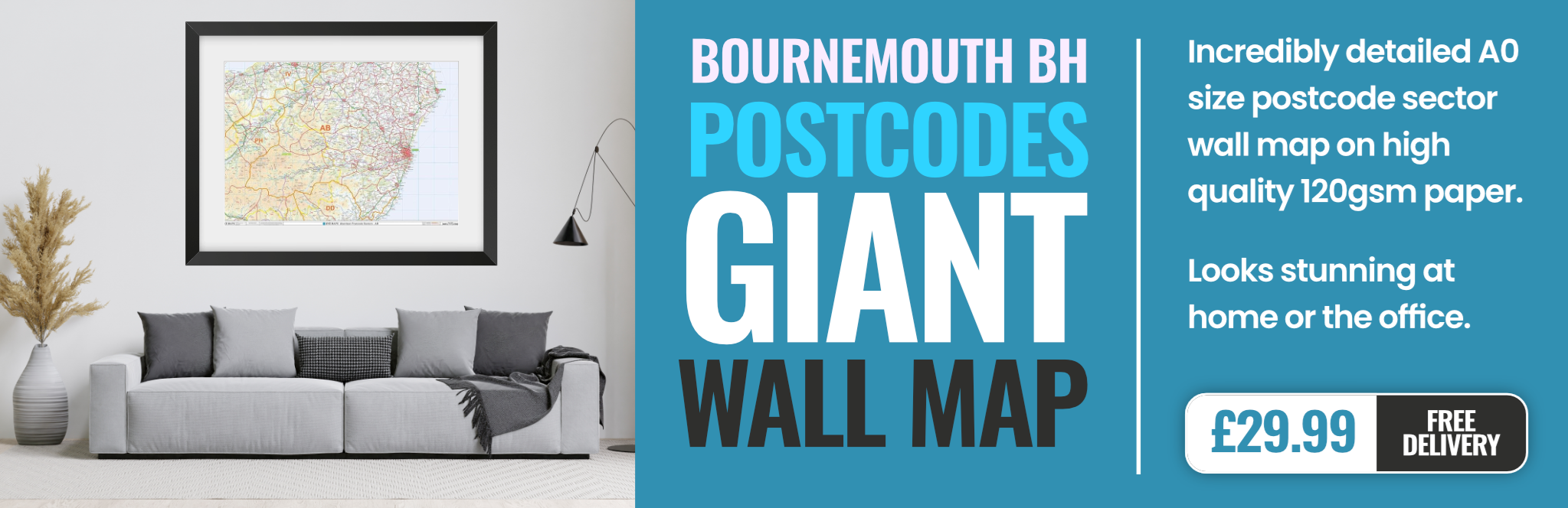
bournemouth BH25 Postcodes
Spending a fortune on conveyancing?

Compare instant, low-cost online quotes from trusted conveyancing solicitors.
Backed by experts, our no-obligation service searches through the best conveyancing quotes on the market to save you time and money.
Bournemouth (BH25)
The BH25 postcode area is located in the Bournemouth postcode town region, within the county of Hampshire, and contains a total of 1064 individual postcodes.
There are 11 electoral wards in the BH25 postcode area, including Bournemouth, Broadstone, Christchurch, Ferndown, New Milton, Poole, Ringwood, Swanage, Verwood, Wareham, Wimborne which come under the local authority of the New Forest Council.
Combining the whole postcode region, 22% of people in BH25 are classed as having an AB social grade, (i.e. 'white-collar' middle-upper class), compared to 27% across the UK.
This does not mean that the people of BH25 are poorer than other areas, but it may give an indication that there are areas of deprivation.
The BH25 postcode is located in the Bournemouth district of the country of England and is part of the county of Dorset. It covers an area of roughly 23 square kilometres and contains some of the more picturesque areas of the county, such as villages and hamlets along the Stour, Avon, and Frome rivers. The town of New Milton is located within the area of this postcode.
BH25 is known for its shopping areas, with high end outlets, cafes, and eateries. It is also home to many art galleries, museums, and theatres. The area has a wealth of green spaces, boasting excellent woodland and Blue Flag beaches. The area also has many sandy and shingle beach areas, with visitors coming from all over to explore.
There are numerous secondary schools located in this area, as well as a primary school and several independent schools. The Bournemouth University campus is located nearby and the local council office is situated within BH25.
The area is well connected by motorways, railway stations, and bus networks, making it easily accessible from other parts of the UK.
BH25 is becoming increasingly popular as people are drawn in by its beautiful scenic beaches and proximity to the sea. This area is growing in popularity as a place to live, with many choosing to settle within its boundaries due to its excellent natural environment, convenience of travel, and strong infrastructure.
In terms of leisure, there is an abundance of activities for people of all ages. From bowling alley's to aquariums, the BH25 area offers something for everyone. There are also a vast number of parks and woodland areas, making the area great for exploring. There are spots for watersports and sailing, as well as cycle trails, making the postcode the perfect place to escape and explore.
The BH25 postcode is an excellent and desirable area and is continuing to grow in popularity, offering something for all ages and interests.

Demographics
Hampshire

BH25 is located in the county of Hampshire, in England.
Hampshire has a total population of 1,829,500, making it the 5th largest county in the UK.
Hampshire has a total area of 1455 square miles, and a population density of 485 people per square kilometre. For comparison, Greater London has a density of 5,618 people/km2.

| Outward Code | BH25 |
| Postal Town | Bournemouth |
| MSOA Name | New Forest 021 |
| LSOA Name | New Forest 021B |
| County | Hampshire |
| Region | Hampshire |
| Country | England |
| Local Authority | New Forest |
| Area Classification | Urban with Significant Rural (rural including hub towns 26-49%) |
BH25 Electoral Wards
The postal region of BH25, includes the local towns, villages, electoral wards and stations of:
Dig even deeper into the BH25 postcode by clicking on a postcode below:
Click on an outward postal code below for more information about the area. Each 'outward' postcode give you a comprehensive list of all postcodes within the outward code area (BH) and estimated address.
Click on an 'outward' code for more information. For example, the outward postcode page 'EC2M' will give you an alphabetical list covering all postcodes located in the region, from 'EC2M 1BB' through to 'EC2M 7YA'.
Chris H
Wednesday, April 10, 2024
We don't have any views of BH25 right now. If you live in BH25 or have visited it, please help us to help others by telling others what you think of this neighbourhood.
Add your view of BH25
People need your local expertise. If you live in BH25 or have first-hand knowledge of the neighbourhood, please consider sharing your views. It's completely anonymous - all we ask is for your initials.
Please tell us what you like about the BH25 postcode area, what you don't like, and what it's like to live or work here.
| LOCAL AMENITIES | |
| FAMILY FRIENDLY | |
| PARKING | |
| GREEN SPACES |
Local News Hampshire
Saints keep automatic hopes alive with Coventry win
Southampton end a three-game winless run by beating play-off chasing Coventry with two first-half goals.
BBC NewsCurle's Passage Winchester Cathedral to close for maintenance
A SECTION of Winchester Cathedral is closing for essential maintenance.
Hampshire ChronicleGoin' Home with Adam and Jo - Ep 44
Adam and Jo reflect on a lacklustre goalless draw at Blackburn.
BBC NewsDurham-Hants, Derbys-Glos matches abandoned
Two County Championship games are abandoned with no play possible during the four scheduled days.
BBC NewsHas Fratton Park found its roar again?
BBC Radio Solent's Portsmouth commentator Andy Moon says the atmosphere at Fratton Park could make the difference in the final eight games.
BBC NewsWarning not to make your bed when you wake up in the morning
Mrs D, known for her tips and tricks for keeping a clean house, has been sharing the warning with her followers
Hampshire ChronicleHigh tides and strong winds bring coastal flooding
Roads and homes flood and rail lines are submerged after high-tide flooding.
BBC NewsFlood warnings and travel delays as high tides hit
Exceptionally high tides combined with strong winds cause problems in parts of the UK.
BBC NewsFrom the Postcode Area blog

Deciphering Crime Rates - a Deep Dive Into UK Postcode Analysis
Ever wondered about the crime rate in your UK postcode? You're not alone. We've dug deep into the data, uncovering trends and patterns that'll make your head spin.

Death of the High Street?
The BBC reports that despite councils' attempts to kurb them, the UK's high streets have seen a huge growth in fast food outlets. Could this mark the death knell for the Great British high street, and what can we do about it to halt its decline?

Discrimination by Postcode
You really couldn't make it up, could you? Some of the country's most vulnerable people are missing out on their weekly £25 Cold Weather Payment, just because the system that's in operation is discriminating against them because payments are based on postcode, rather than geographic location.

The Redesign is Underway
Well, the current website was absolutely in dire need of a good redesign - from the ground up. So I set out to pull it all apart and get it up and running again to become the most comprehensive guide to every postcode in the UK. And it's been a long, tough job from start to finish - and quite possibly the biggest project I've ever undertaken.
SOCIAL GRADES
According to census records, 22% of people here have a social grade of AB (highest), compared to the national average of 27%.