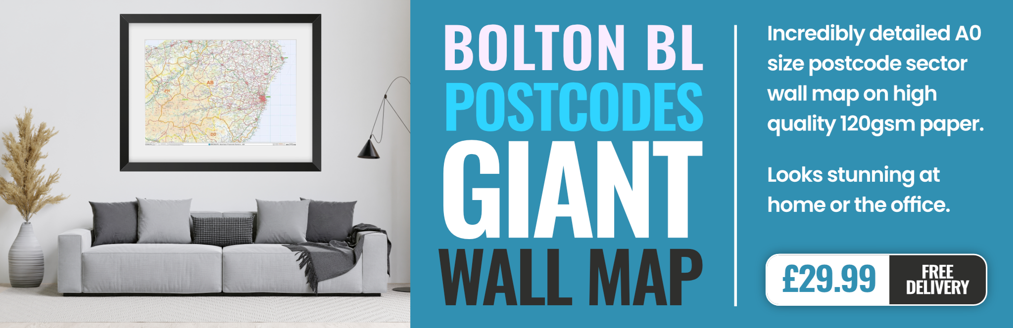
bolton BL4 Postcodes
Spending a fortune on conveyancing?

Compare instant, low-cost online quotes from trusted conveyancing solicitors.
Backed by experts, our no-obligation service searches through the best conveyancing quotes on the market to save you time and money.
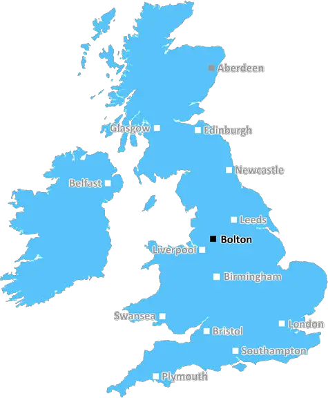
Bolton (BL4)
The BL4 postcode area is located in the Bolton postcode town region, within the county of Greater Manchester, and contains a total of 1042 individual postcodes.
There are 25 electoral wards in the BL4 postcode area, including Bolton, Bury which come under the local authority of the Bolton Council.
Combining the whole postcode region, 11% of people in BL4 are classed as having an AB social grade, (i.e. 'white-collar' middle-upper class), compared to 27% across the UK.
This does not mean that the people of BL4 are poorer than other areas, but it may give an indication that there are areas of deprivation.
The BL4 postcode in the United Kingdom covers a largely residential area of Westhoughton, Greater Manchester and a small part of Mosley Common, Bolton. This postcode district is situated roughly 10 miles northwest of Manchester city centre and 6 miles east of Wigan. The area is relatively affluent and is largely comprised of private housing developments, alongside some industrial areas.
BL4 is approximately bordered by the A6 to the north, the M61 motorway to the west, and the A579 to the south. The district falls within the Metropolitan Borough of Bolton Council and is often referred to as �Westhoughton'. The area is home to the popular Westhoughton Market, one of the few remaining markets in Greater Manchester.
Two of Westhoughton's main roads are Houghend Road and Victoria Road. Here, visitors and residents alike can find many shops and businesses, such as Asda, pubs, restaurants, and banks. It is also home to a few green spaces, such as Westhoughton Recreation Ground, Jack and Jill Wood, and Lee Wood.
A particularly well-known and historic building is Park Hall Country Park. This building dates back to the mid 18th century and was originally built as a barn. Today, it is a listed building and is used for many events such as weddings, press events, and corporate training sessions.
The BL4 postcode also includes both Moxley Common and Westhoughton Memorial Park. The former is a small suburban village and the latter is a residential estate situated around Hindley Railway Station. This station is served by the TransPennine Express service, making it is a convenient place for commuters.
Finally, Westhoughton is the birthplace of two famous people. These are novelist Elizabeth Gaskell and former England cricketer Jack Ikin.

Demographics
Greater Manchester

BL4 is located in the county of Greater Manchester, in England.
Greater Manchester has a total population of 2,782,100, making it the 3rd largest county in the UK.
Greater Manchester has a total area of 492 square miles, and a population density of 2180 people per square kilometre. For comparison, Greater London has a density of 5,618 people/km2.
| Outward Code | BL4 |
| Postal Town | Bolton |
| MSOA Name | Bolton 032 |
| LSOA Name | Bolton 032A |
| County | Greater Manchester |
| Region | Greater Manchester |
| Country | England |
| Local Authority | Bolton |
| Area Classification | Urban with Major Conurbation |
BL4 Electoral Wards
The postal region of BL4, includes the local towns, villages, electoral wards and stations of:
Dig even deeper into the BL4 postcode by clicking on a postcode below:
Click on an outward postal code below for more information about the area. Each 'outward' postcode give you a comprehensive list of all postcodes within the outward code area (BL) and estimated address.
Click on an 'outward' code for more information. For example, the outward postcode page 'EC2M' will give you an alphabetical list covering all postcodes located in the region, from 'EC2M 1BB' through to 'EC2M 7YA'.
Chris H
Monday, April 8, 2024
We don't have any views of BL4 right now. If you live in BL4 or have visited it, please help us to help others by telling others what you think of this neighbourhood.
Add your view of BL4
People need your local expertise. If you live in BL4 or have first-hand knowledge of the neighbourhood, please consider sharing your views. It's completely anonymous - all we ask is for your initials.
Please tell us what you like about the BL4 postcode area, what you don't like, and what it's like to live or work here.
| LOCAL AMENITIES | |
| FAMILY FRIENDLY | |
| PARKING | |
| GREEN SPACES |
Local News Lancashire
Critically ill boy fulfils soldier dream for a day
Noah, who is from Leyland, loves tanks and wished to be a soldier for a day.
BBC NewsEverton beat Burnley to boost survival hopes
Dominic Calvert-Lewin capitalises on an Arijanet Muric error to score his second goal in as many games and help Everton to a priceless win over fellow strugglers Burnley.
BBC NewsSpeaker left 'devastated' by father's death
Former Labour MP Lord Doug Hoyle was a "truly dedicated parliamentarian", Sir Lindsay Hoyle says.
BBC NewsFull steam ahead for historic mill after repairs
"Steam Sunday" at Bancroft Mill was delayed by problems with the 112-year-old boiler.
BBC NewsSurrey only face 21 balls on rain-affected day
Openers Rory Burns and Dom Sibley are only able to add four runs as rain ruins Surrey's reply to Lancashire's 202.
BBC NewsWatford and Preston play out goalless draw
Watford and Preston play out a relatively drab goalless draw in the Championship.
BBC NewsG4 superfan changes her name in honour of singers
Christine Christie Ansell Duncan Jai Martin changed her name in tribute to the X Factor finalists.
BBC NewsMan 'put through hell' after losing home to DWP
George Henderson said he made an "honest mistake" in claiming too much Carer's Allowance.
BBC NewsFrom the Postcode Area blog

Deciphering Crime Rates - a Deep Dive Into UK Postcode Analysis
Ever wondered about the crime rate in your UK postcode? You're not alone. We've dug deep into the data, uncovering trends and patterns that'll make your head spin.

Death of the High Street?
The BBC reports that despite councils' attempts to kurb them, the UK's high streets have seen a huge growth in fast food outlets. Could this mark the death knell for the Great British high street, and what can we do about it to halt its decline?

Discrimination by Postcode
You really couldn't make it up, could you? Some of the country's most vulnerable people are missing out on their weekly £25 Cold Weather Payment, just because the system that's in operation is discriminating against them because payments are based on postcode, rather than geographic location.

The Redesign is Underway
Well, the current website was absolutely in dire need of a good redesign - from the ground up. So I set out to pull it all apart and get it up and running again to become the most comprehensive guide to every postcode in the UK. And it's been a long, tough job from start to finish - and quite possibly the biggest project I've ever undertaken.
SOCIAL GRADES
According to census records, 11% of people here have a social grade of AB (highest), compared to the national average of 27%.