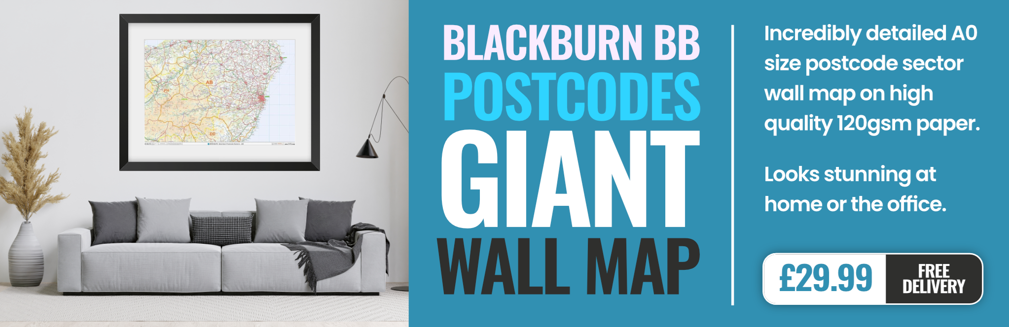
blackburn BB5 Postcodes
Spending a fortune on conveyancing?

Compare instant, low-cost online quotes from trusted conveyancing solicitors.
Backed by experts, our no-obligation service searches through the best conveyancing quotes on the market to save you time and money.
Blackburn (BB5)
The BB5 postcode area is located in the Blackburn postcode town region, within the county of Lancashire, and contains a total of 2046 individual postcodes.
There are 33 electoral wards in the BB5 postcode area, including Accrington, Barnoldswick, Blackburn, Burnley, Clitheroe, Colne, Darwen, Nelson, Rossendale which come under the local authority of the Hyndburn Council.
Combining the whole postcode region, 14% of people in BB5 are classed as having an AB social grade, (i.e. 'white-collar' middle-upper class), compared to 27% across the UK.
This does not mean that the people of BB5 are poorer than other areas, but it may give an indication that there are areas of deprivation.
BB5 is a postcode district in the Blackburn with Darwen district of Lancashire, England.It is a mainly residential area located to the north east of Blackburn town centre containing a variety of housing stock from terraced houses to more modern developments. The area is also known as Bank Top or Whitebirk and many of the streets have traditionally been associated with the weaving industry prevalent in 19th century Blackburn.
The population of BB5 is estimated to be around 26,000 and it is a culturally diverse area, with notable Pakistani, Indian and Caribbean communities all living side by side. The area is commercially active as well with many local shops and businesses supplying locals and people from further afield.
In terms of transport, there are several bus routes that run through the area, with bus stops well spread out and easy to access. Going up to the nearby town of Darwen takes around 10 minutes by bus and Blackburn itself, just a few minutes further. Regular trains from the area, operated by Northern, can quickly take passengers to Preston (30 minutes), Manchester (90 minutes) and Liverpool (2 hours).
BB5 is well served in terms of education, with five local primary schools providing rigorous standards for children. Darwen Vale High School, which is a specialist science and maths school is located in the centre of the postcode district, with five other secondary schools located closer to Blackburn town centre. For higher education, the University of Central Lancashire is within easy reach and offers a wide range of courses. The Blackburn College, located in the same area, is also a popular choice.
Surrounding the BB5 postcode, several parks, reserves and green spaces can be found giving people access to outdoor activities and nature. Witton Park, Witton Country Park and Whitebirk Local Nature Reserve are all easily accessible and are popular amongst locals enjoying walks and picnics. Additional recreational activities can be found at the modern leisure centre which offers a range of fitness and sporting activities.

Demographics
Lancashire

BB5 is located in the county of Lancashire, in England.
Lancashire has a total population of 1,485,000, making it the 8th largest county in the UK.
Lancashire has a total area of 1187 square miles, and a population density of 482 people per square kilometre. For comparison, Greater London has a density of 5,618 people/km2.

| Outward Code | BB5 |
| Postal Town | Blackburn |
| MSOA Name | Hyndburn 006 |
| LSOA Name | Hyndburn 006A |
| County | Lancashire |
| Region | Lancashire |
| Country | England |
| Local Authority | Hyndburn |
| Area Classification | Urban with City and Town |
BB5 Electoral Wards
The postal region of BB5, includes the local towns, villages, electoral wards and stations of:
Dig even deeper into the BB5 postcode by clicking on a postcode below:
Click on an outward postal code below for more information about the area. Each 'outward' postcode give you a comprehensive list of all postcodes within the outward code area (BB) and estimated address.
Click on an 'outward' code for more information. For example, the outward postcode page 'EC2M' will give you an alphabetical list covering all postcodes located in the region, from 'EC2M 1BB' through to 'EC2M 7YA'.
Chris H
Tuesday, April 9, 2024
We don't have any views of BB5 right now. If you live in BB5 or have visited it, please help us to help others by telling others what you think of this neighbourhood.
Add your view of BB5
People need your local expertise. If you live in BB5 or have first-hand knowledge of the neighbourhood, please consider sharing your views. It's completely anonymous - all we ask is for your initials.
Please tell us what you like about the BB5 postcode area, what you don't like, and what it's like to live or work here.
| LOCAL AMENITIES | |
| FAMILY FRIENDLY | |
| PARKING | |
| GREEN SPACES |
Local News Lancashire
Pharmacy robots speed up prescription picking
The robots are "like giant vending machines" that find medicines faster than humans, a Trust says.
BBC NewsBradford stabbing victim named as manhunt continues
Kulsuma Akter, from Oldham, was stabbed to death while pushing her baby in a pram, police say.
BBC NewsFamily jailed over multimillion-pound drugs trade
Ian Shacklady, his family and associates supplied large amounts of cocaine and heroin across the UK.
BBC NewsFight for Premier League survival - who will go down?
After points deductions for Nottingham Forest and Everton and a crucial win for Luton, who is facing relegation from the Premier League?
BBC NewsBig increase in England's hen harrier numbers
Northumberland, the North Pennines, Yorkshire Dales and Lancashire are all now home to hen harriers.
BBC NewsFull steam ahead for historic mill after repairs
"Steam Sunday" at Bancroft Mill was delayed by problems with the 112-year-old boiler.
BBC NewsFour in five of borough's ash trees could be lost
There is currently no cure or clear method of stopping the spread of ash dieback.
BBC NewsEverton beat Burnley to boost survival hopes
Dominic Calvert-Lewin capitalises on an Arijanet Muric error to score his second goal in as many games and help Everton to a priceless win over fellow strugglers Burnley.
BBC NewsFrom the Postcode Area blog

Deciphering Crime Rates - a Deep Dive Into UK Postcode Analysis
Ever wondered about the crime rate in your UK postcode? You're not alone. We've dug deep into the data, uncovering trends and patterns that'll make your head spin.

Death of the High Street?
The BBC reports that despite councils' attempts to kurb them, the UK's high streets have seen a huge growth in fast food outlets. Could this mark the death knell for the Great British high street, and what can we do about it to halt its decline?

Discrimination by Postcode
You really couldn't make it up, could you? Some of the country's most vulnerable people are missing out on their weekly £25 Cold Weather Payment, just because the system that's in operation is discriminating against them because payments are based on postcode, rather than geographic location.

The Redesign is Underway
Well, the current website was absolutely in dire need of a good redesign - from the ground up. So I set out to pull it all apart and get it up and running again to become the most comprehensive guide to every postcode in the UK. And it's been a long, tough job from start to finish - and quite possibly the biggest project I've ever undertaken.
SOCIAL GRADES
According to census records, 14% of people here have a social grade of AB (highest), compared to the national average of 27%.