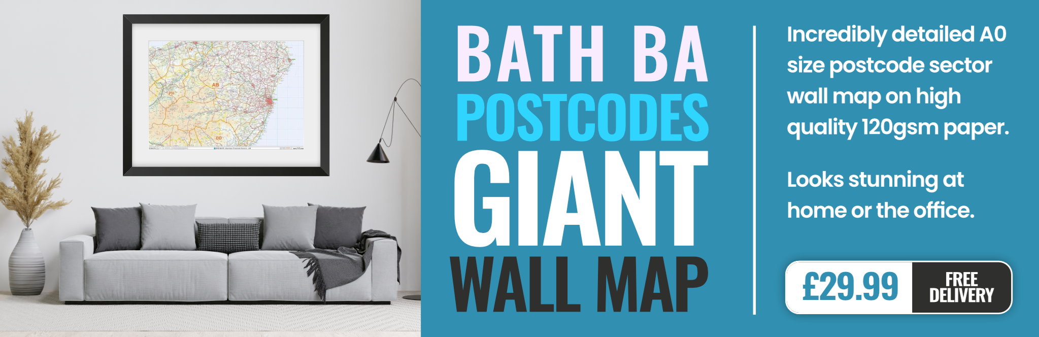
bath BA11 Postcodes
Spending a fortune on conveyancing?

Compare instant, low-cost online quotes from trusted conveyancing solicitors.
Backed by experts, our no-obligation service searches through the best conveyancing quotes on the market to save you time and money.
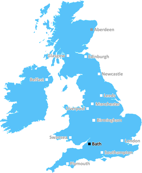
Bath (BA11)
The BA11 postcode area is located in the Bath postcode town region, within the county of Somerset, and contains a total of 1372 individual postcodes.
There are 101 electoral wards in the BA11 postcode area, including Bath, Bradford-On-Avon, Bruton, Castle Cary, Frome, Glastonbury, Radstock, Shepton Mallet, Street, Templecombe, Trowbridge, Warminster, Wells, Westbury, Wincanton, Yeovil which come under the local authority of the Mendip Council.
Combining the whole postcode region, 24% of people in BA11 are classed as having an AB social grade, (i.e. 'white-collar' middle-upper class), compared to 27% across the UK.
This does not mean that the people of BA11 are poorer than other areas, but it may give an indication that there are areas of deprivation.
The BA11 postcode district falls within the Bath district of Somerset in the UK. It is also known as the Wells postcode area, due to its inclusion in the Wells city council area. It covers the north east corner of Somerset, encompassing the towns of Frome, Midsomer Norton, Radstock, Shepton Mallet, and Wells itself.
The district features an interesting mix of urban and rural environments, in particular the numerous villages and hamlets dotted around the area. The high street in Wells is considered to be one of the most attractive in the West Country, the River Brue running along its edge acting as a picturesque backdrop.
For those looking for green open spaces and activities, Frome Valley and Shepton Mallet Country Parks, the Mendip Hills Area of Outstanding Natural Beauty, Blagdon and Chew Valley lakes, the Limestone Borders and the Somerset Levels, are all a stone's throw away.
Educationally the area is well served by the two main FE Colleges, Bridgwater & Taunton College and Bath College, with schools, academies and nurseries on offer as well. Other educational establishments including museums, art galleries and places of honor also abound in the region.
In terms of transport links, the A37 and A36 roads offer good links to Bath, Bristol and the M4 motorway. The A37 further connects to the A303 for London. There are good rail links to Bristol Temple Meads, Bath and Westbury, and for those nearer to the coast there are railway connections to Penzance and Exeter.
In terms of leisure activities and services, the area also features a multitude of pubs, restaurants and shops along with numerous theatres, sporting facilities and other attractions. The revitalised Westlands leisure complex in Yeovil, which was recently established, is well worth a visit.
The postcode district of BA11 is a fascinating mix of both urban and rural landscapes and offers easy access to shops, services and attractions in the area. It's a great place to live and visit with its glorious scenery, culture and heritage, and easy connections to the rest of the country.

Demographics
Somerset

BA11 is located in the county of Somerset, in England.
Somerset has a total population of 948,900, making it the 22nd largest county in the UK.
Somerset has a total area of 1610 square miles, and a population density of 227 people per square kilometre. For comparison, Greater London has a density of 5,618 people/km2.
| Outward Code | BA11 |
| Postal Town | Bath |
| MSOA Name | Mendip 004 |
| LSOA Name | Mendip 004C |
| County | Somerset |
| Region | Somerset |
| Country | England |
| Local Authority | Mendip |
| Area Classification | Mainly Rural (rural including hub towns >=80%) |
BA11 Electoral Wards
The postal region of BA11, includes the local towns, villages, electoral wards and stations of:
Dig even deeper into the BA11 postcode by clicking on a postcode below:
Click on an outward postal code below for more information about the area. Each 'outward' postcode give you a comprehensive list of all postcodes within the outward code area (BA) and estimated address.
Click on an 'outward' code for more information. For example, the outward postcode page 'EC2M' will give you an alphabetical list covering all postcodes located in the region, from 'EC2M 1BB' through to 'EC2M 7YA'.
Chris H
Sunday, April 7, 2024
We don't have any views of BA11 right now. If you live in BA11 or have visited it, please help us to help others by telling others what you think of this neighbourhood.
Add your view of BA11
People need your local expertise. If you live in BA11 or have first-hand knowledge of the neighbourhood, please consider sharing your views. It's completely anonymous - all we ask is for your initials.
Please tell us what you like about the BA11 postcode area, what you don't like, and what it's like to live or work here.
| LOCAL AMENITIES | |
| FAMILY FRIENDLY | |
| PARKING | |
| GREEN SPACES |
Local News Somerset
Body in caravan thought to be wanted sex offender
Richard Scatchard was wanted on recall to prison and over the death of his partner at his home.
BBC NewsRecord numbers running out of cash every month
Debt advisors see more people than ever whose household costs are bigger than their income.
BBC NewsBath wing Cokanasiga signs new three-year deal
England international winger Joe Cokanasiga signs a new three-year contract with Premiership side Bath.
BBC NewsFears over future of the arts as budgets are cut
The funding for a county's biggest three theatres is under threat in proposed council savings.
BBC NewsLibrary of Things may close if new home is not found
Frome charity might close despite community popularity.
BBC NewsCommunity kitchen plans to buy old bank building
A couple wants to turn a former bank into a community space for artists and local groups
BBC NewsEngland flanker Underhill signs new Bath deal
England flanker Sam Underhill signs a new contract to stay with Bath until the end of the 2025-2026 season.
BBC NewsEngland flanker Underhill signs new Bath deal
England flanker Sam Underhill signs a new contract to stay with Bath until the end of the 2025-2026 season.
BBC NewsFrom the Postcode Area blog

Deciphering Crime Rates - a Deep Dive Into UK Postcode Analysis
Ever wondered about the crime rate in your UK postcode? You're not alone. We've dug deep into the data, uncovering trends and patterns that'll make your head spin.

Death of the High Street?
The BBC reports that despite councils' attempts to kurb them, the UK's high streets have seen a huge growth in fast food outlets. Could this mark the death knell for the Great British high street, and what can we do about it to halt its decline?

Discrimination by Postcode
You really couldn't make it up, could you? Some of the country's most vulnerable people are missing out on their weekly £25 Cold Weather Payment, just because the system that's in operation is discriminating against them because payments are based on postcode, rather than geographic location.

The Redesign is Underway
Well, the current website was absolutely in dire need of a good redesign - from the ground up. So I set out to pull it all apart and get it up and running again to become the most comprehensive guide to every postcode in the UK. And it's been a long, tough job from start to finish - and quite possibly the biggest project I've ever undertaken.
SOCIAL GRADES
According to census records, 24% of people here have a social grade of AB (highest), compared to the national average of 27%.